Medium airport · France

Calais Marck AirportLFAC
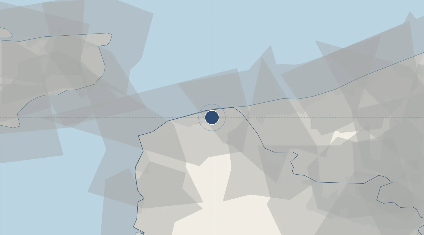
50.9621°, 1.9548°
5,036 ft
Longest runway
2
Runways
12 ft
Elevation

Runway & Layout

Calais Marck Airport runway & taxiway layout
Runway & taxiway layout — OpenStreetMap (ODbL) / OurAirports

Radio Frequencies

ATIS
135.45 MHz
TWR
128.925 MHz
APP
120.275 MHz
LILLE APP
OurAirports

Runways · 2

RunwayDimensions SurfaceTrue headingLit
06/24 5,036 × 148ft Asphalt 061°
H 42 × 42ft Asphalt
OurAirports

Airport Specifications

IATA code
CQF
OurAirports
ICAO code
LFAC
OurAirports
Airport class
Medium airport
OurAirports
Scheduled service
No
OurAirports
Runway surface
Asphalt
OurAirports
Served city
Calais
OurAirports

Location

Location of LFAC
Natural Earth 10m (public domain) · Pas-de-Calais · LFAC · 50.96, 1.95GoogleOSMYandex

Nearby Logistics Neighbours

Airports
  1. 1Koksijde Air Base51 km
  2. 2Le Touquet-Côte d'Opale Airport55 km
  3. 3Merville-Calonne Airport62 km
  4. 4Ostend-Bruges International Airport70 km
  5. 5Lydd London Ashford Airport71 km
Nearest neighbours — logibook spatial index (haversine) over the source coordinates
Cities
  1. 1Calais8 km
  2. 2Fort-Batard8 km
  3. 3Les Fontinettes8 km
  4. 4Fréthun11 km
  5. 5Grand-Fort-Philippe11 km
Nearest neighbours — logibook spatial index (haversine) over the source coordinates
Ports
  1. 1Calais7 km
  2. 2Gravelines12 km
  3. 3Dunkerque Port Est30 km
  4. 4Boulogne-Sur-Mer36 km
  5. 5Dover Harbor47 km
Nearest neighbours — logibook spatial index (haversine) over the source coordinates
Trade Zones
  1. 1ZFU Calais9 km
  2. 2ZFU Saint Pol sur Mer28 km
  3. 3Discovery Park - Sandwich Enterprise Zone56 km
  4. 4ZFU de Lille et de Loos83 km
  5. 5ZFU Tourcoing89 km
Nearest neighbours — logibook spatial index (haversine) over the source coordinates
DatabookThe Record of Consolidated Knowledge
France beyond logistics?
Browse databook

All Sources

AirportsOurAirports
Public domain
Portsthe NGA World Port Index
Public domain (US gov)
LocationsUN/LOCODE
UN/LOCODE — free
Trade Zonesthe World Bank SEZ database
CC BY 4.0
Trade ZonesOpen Zone Map
CC BY
InfrastructureOpenStreetMap
ODbL 1.0
← France airports