Transport Functions
Port
Road
Hub Profile
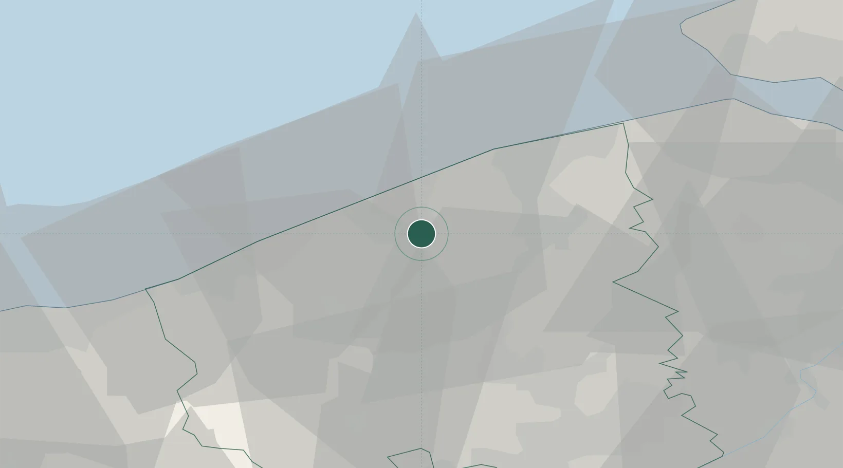
Place type
Populated place
Region
Flanders
Population
8,752
Time zone
Europe/Brussels
Elevation
3 m
Location
Nearby Logistics Neighbours
Cities
- 1Zandvoorde3 km
- 2Snaaskerke5 km
- 3Sas-Slijkens5 km
- 4Moerdijk6 km
- 5Oostende (Ostend)7 km
Ports
- 1Oostende8 km
- 2Bruges16 km
- 3Nieuwpoort18 km
- 4Zeebrugge22 km
- 5Dunkerque Port Est47 km
Airports
Trade Zones
DatabookThe Record of Consolidated Knowledge
Belgium beyond logistics?