Transport Functions
Rail
Road
Hub Profile
Place type
Populated place
Region
England
Time zone
Europe/London
Elevation
127 m
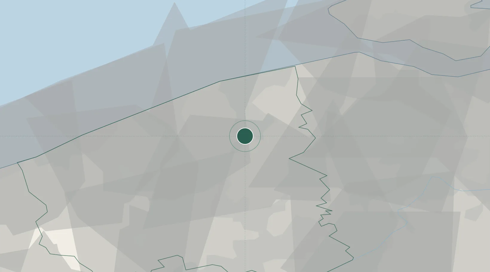
Location
Nearby Logistics Neighbours
Cities
- 1Sint-Andries2 km
- 2Steenbrugge3 km
- 3Oostkamp3 km
- 4Moerbrugge5 km
- 5Scheepsdale6 km
Ports
- 1Bruges8 km
- 2Zeebrugge19 km
- 3Oostende21 km
- 4Nieuwpoort32 km
- 5Ghent39 km
Airports
Trade Zones
- 1ZFU Tourcoing49 km
- 2ZFU Hem et Roubaix53 km
- 3ZFU de Lille et de Loos61 km
- 4ZFU Saint Pol sur Mer62 km
- 5ZFU Condé sur lEscaut82 km
DatabookThe Record of Consolidated Knowledge
United Kingdom beyond logistics?