Small airport · Australia
Olympic Dam AirportYOLD
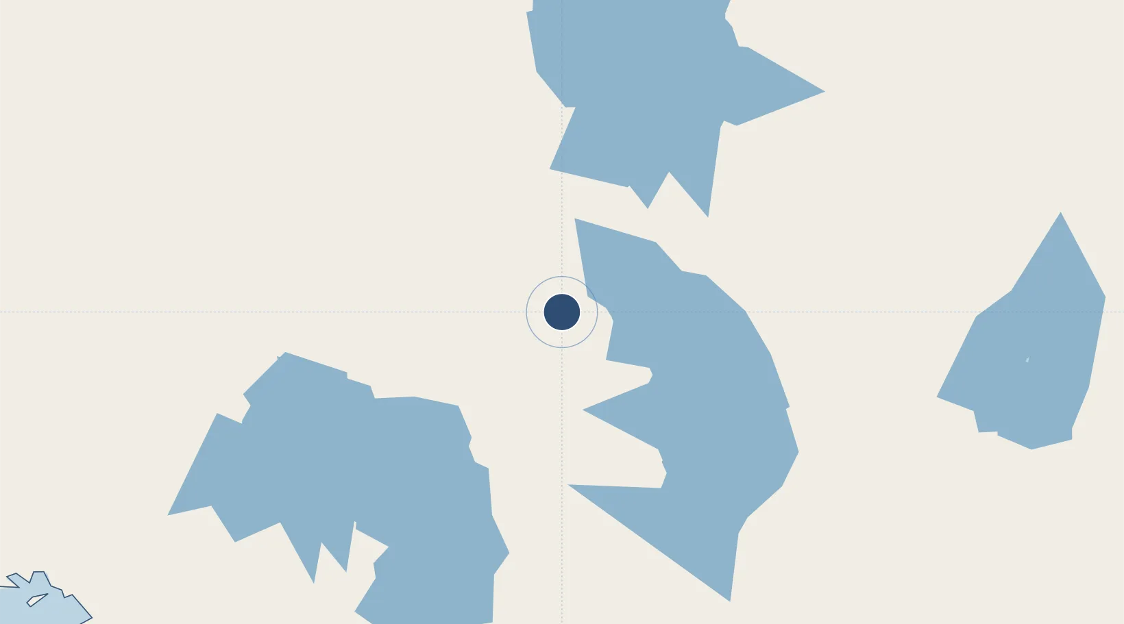
-30.4839°, 136.8767°
6,102 ft
Longest runway
1
Runways
344 ft
Elevation
Runway & Layout

Radio Frequencies
CTAF
126.6 MHz
AWIS
128.05 MHz
Weather Service
FIA
122 MHz
MELBOURNE CENTRE
Runways · 1
| Runway | Dimensions | Surface | True heading | Lit |
|---|---|---|---|---|
| 07/25 | 6,102 × 98ft | Asphalt | 064° | ✓ |
Airport Specifications
IATA code
OLP
ICAO code
YOLD
Airport class
Small airport
Scheduled service
Yes
Runway surface
Asphalt
Served city
Olympic Dam
Location
Nearby Logistics Neighbours
Airports
- 1Marree Airport146 km
- 2Leigh Creek Airport149 km
- 3Prominent Hill Airport156 km
- 4William Creek Aerodrome183 km
- 5Port Augusta Airport239 km
Cities
- 1Lucky Bay356 km
- 2Port Kenny363 km
- 3Andrews384 km
- 4Clare406 km
- 5Twowells482 km
Ports
- 1Whyalla291 km
- 2Port Bonython294 km
- 3Port Pirie319 km
- 4Thevenard359 km
- 5Wallaroo390 km
DatabookThe Record of Consolidated Knowledge
Australia beyond logistics?