Transport Functions
Multimodal
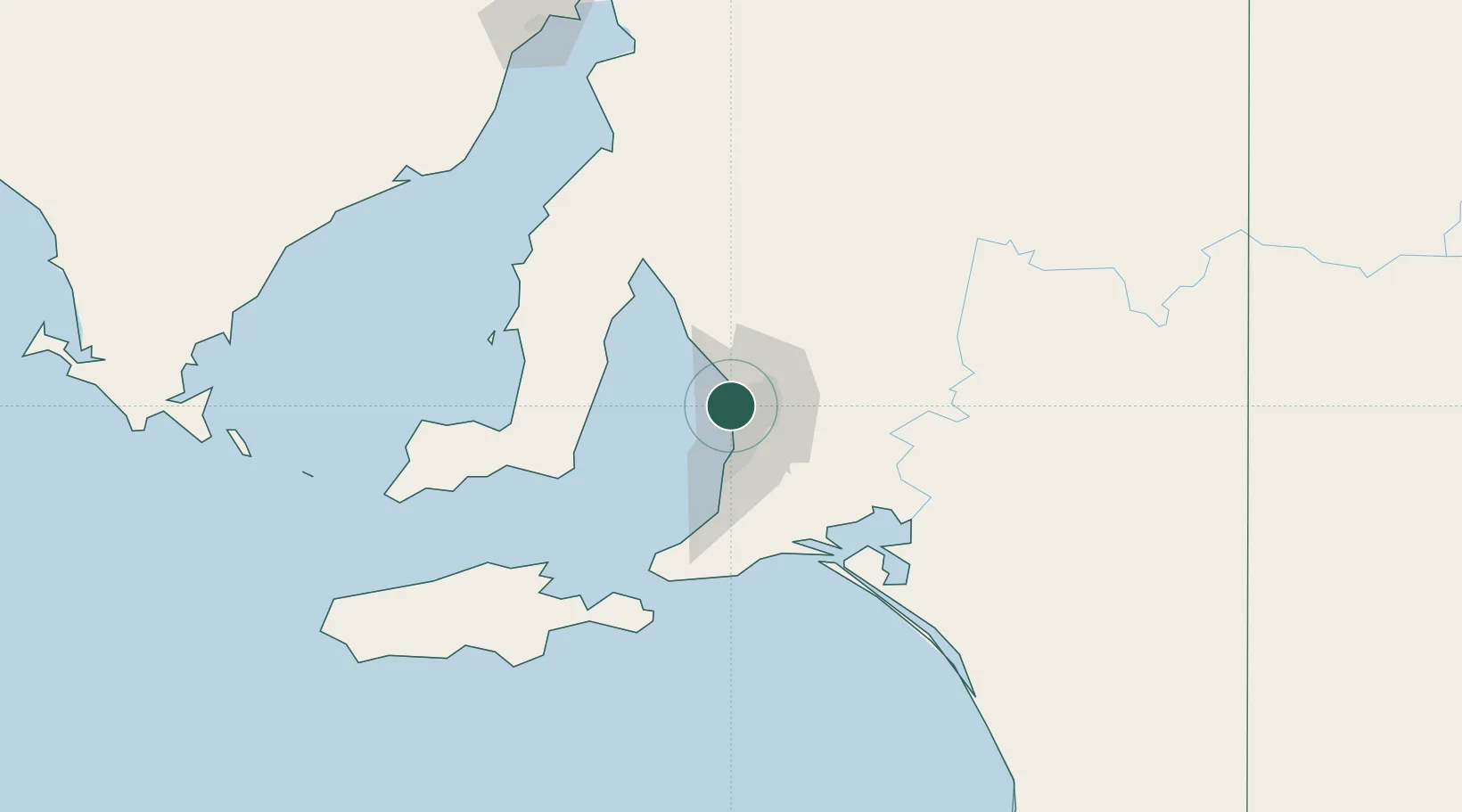
Hub Profile
Place type
Urban district
Region
South Australia
Population
1,648
Time zone
Australia/Adelaide
Elevation
7 m
Location
Nearby Logistics Neighbours
Cities
- 1Port Adelaide2 km
- 2Ottoway3 km
- 3Beverley6 km
- 4Woodville6 km
- 5Adelaide7 km
Ports
- 1Port Adelaide2 km
- 2Klein Point69 km
- 3Ardrossan70 km
- 4Port Giles71 km
- 5Kingscote119 km
Airports
- 1Adelaide International Airport13 km
- 2RAAF Base Edinburgh18 km
- 3Kingscote Airport132 km
- 4Port Pirie Airport183 km
- 5Renmark Airport211 km
DatabookThe Record of Consolidated Knowledge
Australia beyond logistics?