Seaport · Australia

HobartAUHBA

-42.8833°, 147.3333°
12.5 m
Channel depth
16.1
Port liner connectivity
Hobart is also a UN/LOCODE logistics hub →

Channel & Berth Profile

SEA LEVEL (CD)CHANNEL BEDCargo pier · 11.0 mChannel · 12.5 mOil terminal · 14.0 mAnchorage · 18.6 m
NGA World Port Index

Pilotage, Tugs & Services

Pilotage compulsoryYES
Pilotage availableYES
Pilotage advisableYES
Tug assistanceYES
Salvage tugsYES
Shore powerYES
Potable waterYES
Diesel bunkersYES
MedicalYES
Garbage disposalYES
NGA World Port Index

Facilities & Capabilities

Container
Ro-Ro
Liquid bulk
Dry bulk
Oil terminal
Break bulk
Dry dock
RepairsNO
BunkeringYES
Rail link
Dangerous cargo
ISPS security
NGA World Port Index

Harbour Specifications

Harbour size
Medium
NGA World Port Index
Harbour type
River (Natural)
NGA World Port Index
Shelter
Excellent
NGA World Port Index
Water body
South Pacific Ocean
NGA World Port Index
Tidal range
1 m
NGA World Port Index
Overhead limit
Yes
NGA World Port Index
Pilotage
Yes
NGA World Port Index

Liner Connectivity

16.1
PLSCI

Port Liner Shipping Connectivity Index for Hobart, as published by UNCTAD for the latest available quarter. Higher values indicate stronger scheduled liner-shipping integration.

Shown relative to the highest per-port PLSCI in the dataset (1,657.9).
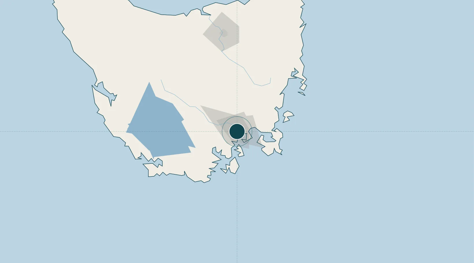
UNCTAD · Port Liner Shipping Connectivity Index

Location

Location of AUHBA
Natural Earth 10m (public domain) · Tasmania · AUHBA · -42.88, 147.33GoogleOSMYandex

Nearby Logistics Neighbours

Ports
  1. 1Port Huon43 km
  2. 2Launceston160 km
  3. 3Beauty Point197 km
  4. 4Port Dalrymple199 km
  5. 5Devonport205 km
Nearest neighbours — logibook spatial index (haversine) over the source coordinates
Cities
  1. 1Boyer6 km
  2. 2Rokeby8 km
  3. 3Cambridge11 km
  4. 4Blackmans Bay11 km
  5. 5New Norfolk24 km
Nearest neighbours — logibook spatial index (haversine) over the source coordinates
Airports
  1. 1Hobart International Airport16 km
  2. 2Launceston Airport149 km
  3. 3Devonport Airport205 km
  4. 4Wynyard Airport248 km
  5. 5Smithton Airport294 km
Nearest neighbours — logibook spatial index (haversine) over the source coordinates
Trade Zones
  1. 1Latrobe Valley Economic Growth Zone523 km
  2. 2Hicks Bay Area Special Economic Zone2664 km
  3. 3Vanuatu Economic Development Zone3581 km
  4. 4Paga Hill Estate Special Economic Zone3714 km
  5. 5Ihu Special Economic Zone3895 km
Nearest neighbours — logibook spatial index (haversine) over the source coordinates
DatabookThe Record of Consolidated Knowledge
Australia beyond logistics?
Browse databook

All Sources

Portsthe NGA World Port Index
Public domain (US gov)
Logistics performanceUNCTAD
CC BY 3.0 IGO
AirportsOurAirports
Public domain
LocationsUN/LOCODE
UN/LOCODE — free
Trade Zonesthe World Bank SEZ database
CC BY 4.0
Trade ZonesOpen Zone Map
CC BY
← Australia ports