UN/LOCODE hub · Australia
AUTTS
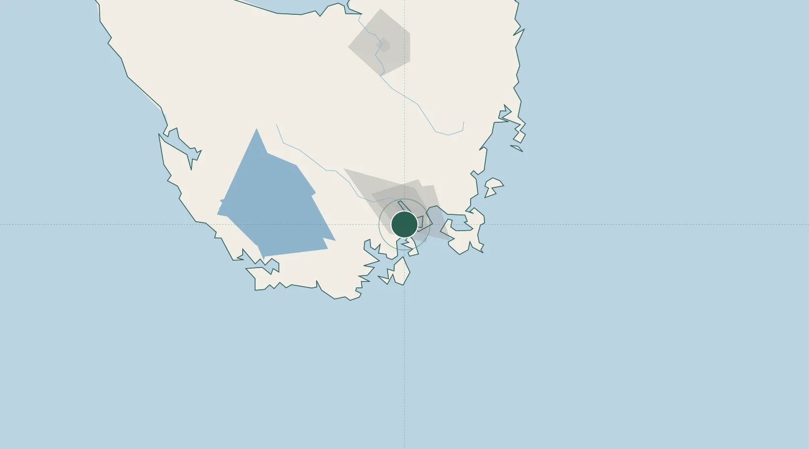
Blackmans Bay
-42.9833°, 147.3167°
6,890
Population
2
Transport functions
Transport Functions
Port
Road
Hub Profile
Place type
Urban district
Region
Tasmania
Population
6,890
Time zone
Australia/Hobart
Elevation
54 m
Location
Nearby Logistics Neighbours
Cities
- 1Rokeby13 km
- 2Boyer17 km
- 3Cambridge20 km
- 4Hobart20 km
- 5New Norfolk30 km
Ports
- 1Hobart11 km
- 2Port Huon34 km
- 3Launceston171 km
- 4Beauty Point208 km
- 5Port Dalrymple210 km
Airports
- 1Hobart International Airport23 km
- 2Launceston Airport160 km
- 3Devonport Airport215 km
- 4Wynyard Airport257 km
- 5Smithton Airport302 km
Trade Zones
DatabookThe Record of Consolidated Knowledge
Australia beyond logistics?