UN/LOCODE hub · Australia
AUNLK
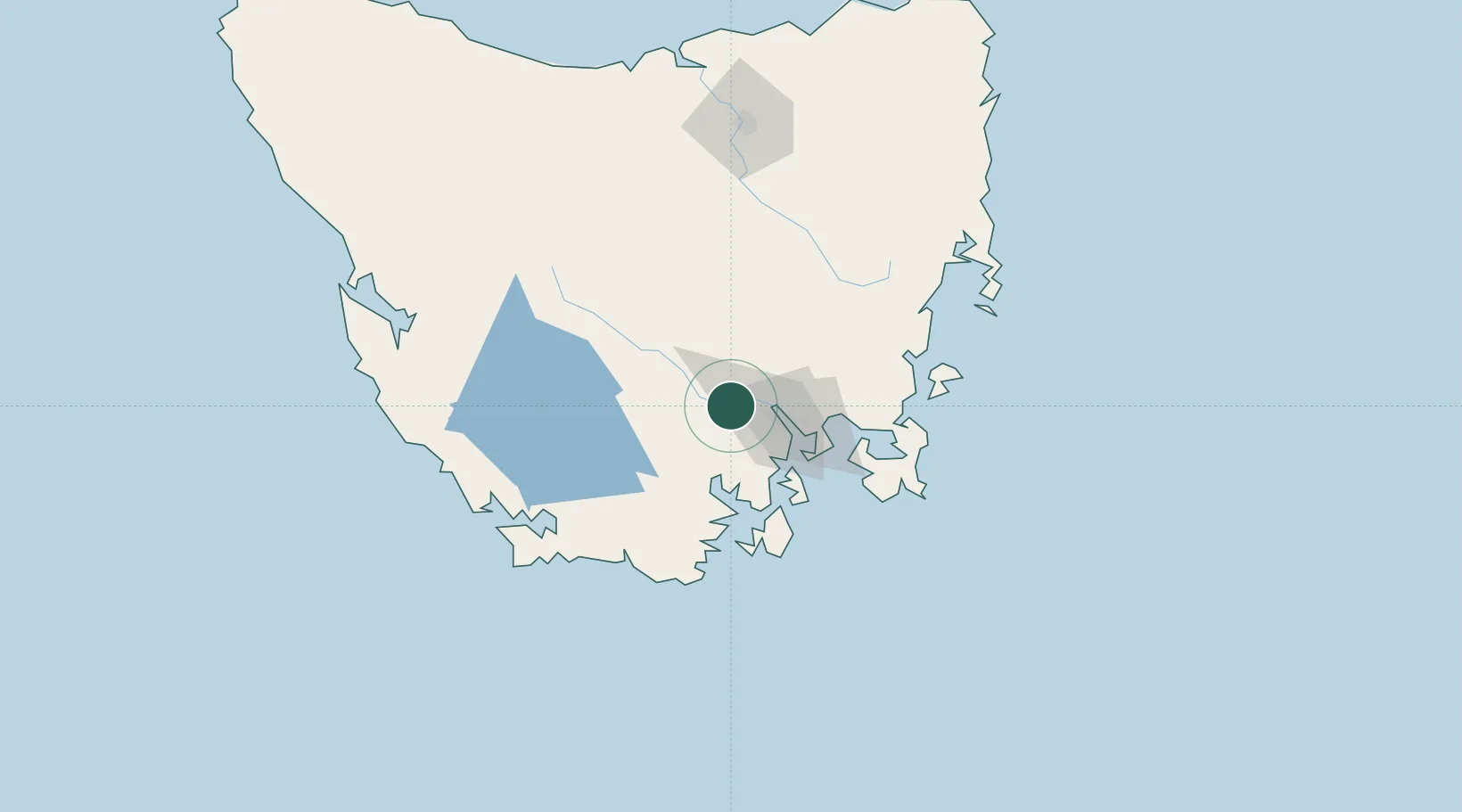
New Norfolk
-42.7833°, 147.0667°
5,366
Population
2
Transport functions
Transport Functions
Port
Road
Hub Profile
Place type
Populated place
Region
Tasmania
Population
5,366
Time zone
Australia/Hobart
Elevation
40 m
Location
Nearby Logistics Neighbours
Cities
- 1Hobart15 km
- 2Boyer20 km
- 3Blackmans Bay30 km
- 4Cambridge32 km
- 5Rokeby33 km
Ports
- 1Hobart24 km
- 2Port Huon43 km
- 3Launceston148 km
- 4Beauty Point183 km
- 5Port Dalrymple185 km
Airports
- 1Hobart International Airport37 km
- 2Launceston Airport138 km
- 3Devonport Airport187 km
- 4Wynyard Airport228 km
- 5Smithton Airport272 km
Trade Zones
DatabookThe Record of Consolidated Knowledge
Australia beyond logistics?