Seaport · Australia
DevonportAUDPO
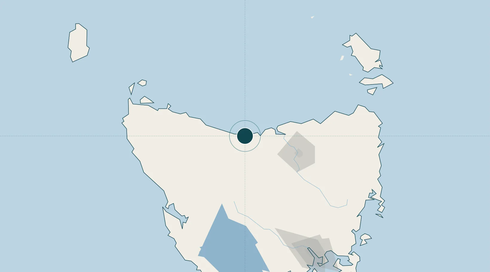
-41.1833°, 146.3667°
7.9 m
Channel depth
16.5
Port liner connectivity
Channel & Berth Profile
Pilotage, Tugs & Services
Pilotage compulsoryYES
Pilotage availableYES
Pilotage advisableYES
Tug assistanceYES
Potable waterYES
MedicalYES
Garbage disposalYES
Facilities & Capabilities
ContainerYES
Ro-RoYES
Liquid bulkYES
Dry bulkYES
Oil terminal—
Break bulkYES
Dry dock—
RepairsNO
BunkeringYES
Rail linkYES
Dangerous cargo—
ISPS security—
Harbour Specifications
Harbour size
Small
Harbour type
River (Basins)
Shelter
Excellent
Water body
Bass Strait; South Pacific Ocean
Tidal range
8 m
Overhead limit
Yes
Pilotage
Yes
Liner Connectivity
16.5
PLSCI
Port Liner Shipping Connectivity Index for Devonport, as published by UNCTAD for the latest available quarter. Higher values indicate stronger scheduled liner-shipping integration.
Shown relative to the highest per-port PLSCI in the dataset (1,657.9).
Location
Nearby Logistics Neighbours
Ports
- 1Beauty Point38 km
- 2Burnie38 km
- 3Port Dalrymple40 km
- 4Launceston69 km
- 5Port Latta91 km
Airports
- 1Devonport Airport6 km
- 2Wynyard Airport58 km
- 3Launceston Airport81 km
- 4Smithton Airport114 km
- 5Flinders Island Airport183 km
Trade Zones
DatabookThe Record of Consolidated Knowledge
Australia beyond logistics?