Medium airport · Australia
Launceston AirportYMLT
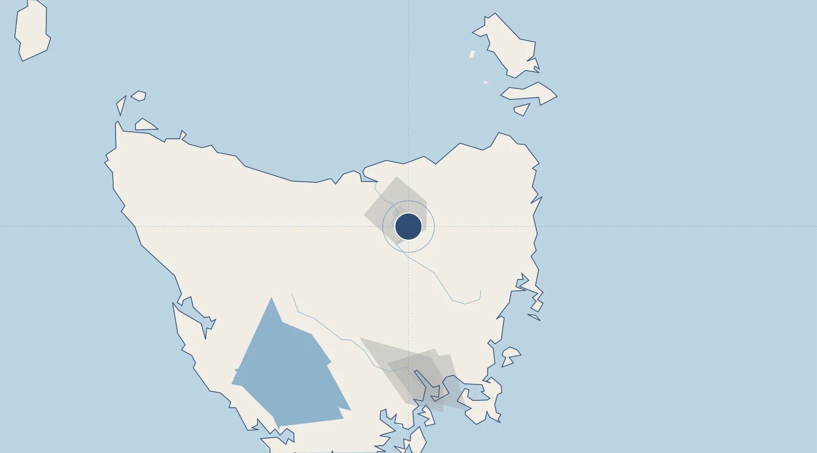
-41.5449°, 147.2108°
6,499 ft
Longest runway
3
Runways
562 ft
Elevation
Runway & Layout

Radio Frequencies
ATIS
112.6 MHz
TWR
118.7 MHz
CTAF
118.7 MHz
FSS
126.5 MHz
MELBOURNE CNTR
Navaids
LT VOR-DME Launceston 112.60 MHz
LT NDB Launceston 242 kHz
NIE NDB Nile 230 kHz
Runways · 3
| Runway | Dimensions | Surface | True heading | Lit |
|---|---|---|---|---|
| 14R/32L | 6,499 × 148ft | Asphalt | 146° | ✓ |
| 14L/32R | 2,297 × 60ft | Grass | 147° | — |
| 18/36 | 2,264 × 60ft | Grass | 196° | — |
Airport Specifications
IATA code
LST
ICAO code
YMLT
Airport class
Medium airport
Scheduled service
Yes
Runway surface
Asphalt
Served city
Launceston (Western Junction)
Location
Nearby Logistics Neighbours
Airports
- 1Devonport Airport77 km
- 2Wynyard Airport138 km
- 3Hobart International Airport146 km
- 4Flinders Island Airport175 km
- 5Smithton Airport195 km
Cities
- 1Evandale5 km
- 2Launceston14 km
- 3Invermay16 km
- 4Lilydale18 km
- 5Mayfield19 km
Ports
- 1Launceston13 km
- 2Beauty Point55 km
- 3Port Dalrymple56 km
- 4Devonport81 km
- 5Burnie119 km
Trade Zones
DatabookThe Record of Consolidated Knowledge
Australia beyond logistics?