Transport Functions
Port
Road
Airport
Postal
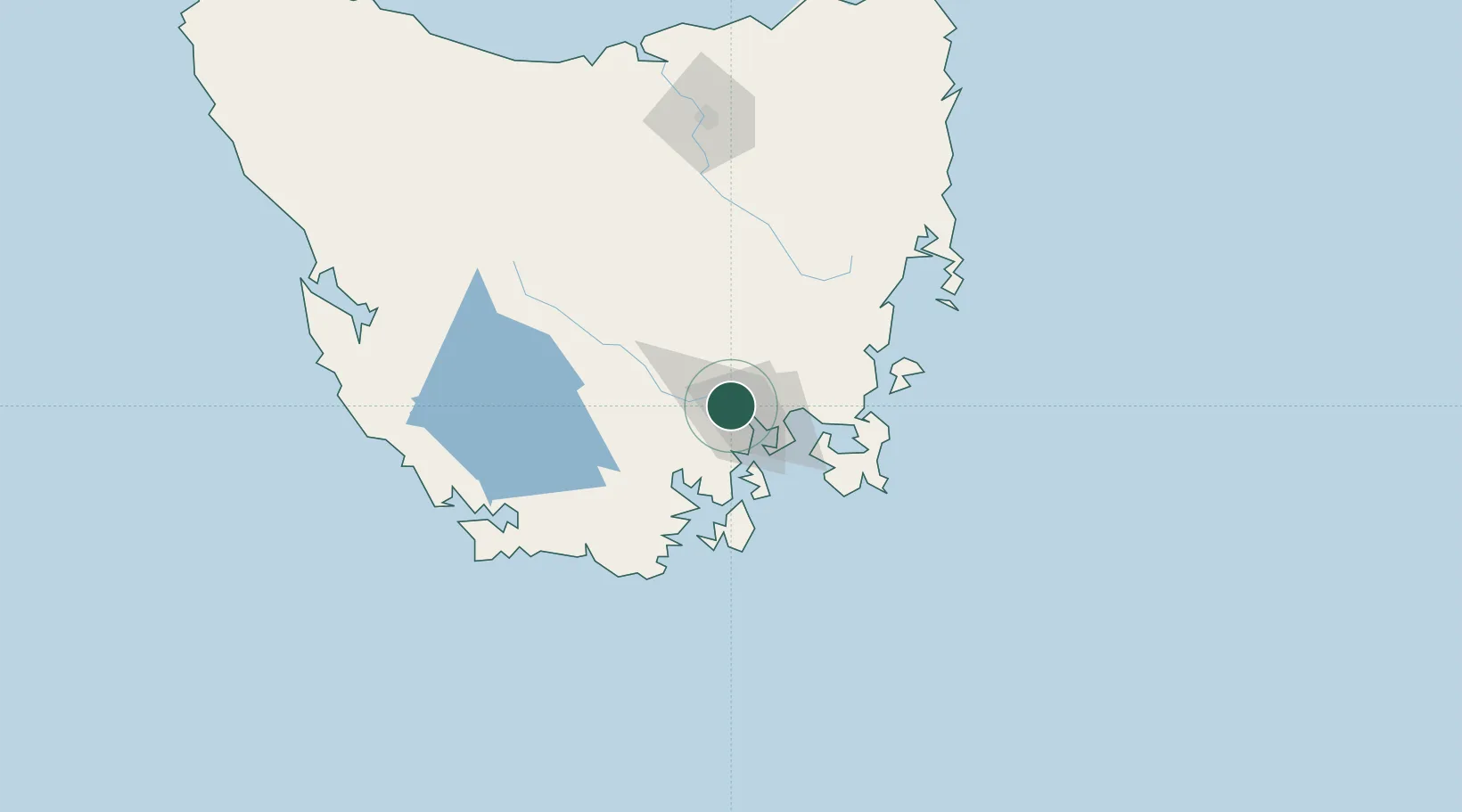
Hub Profile
Place type
Regional capital
Region
Tasmania
Population
252,639
Time zone
Australia/Hobart
Elevation
19 m
Logistics facilities
7
Location
Nearby Logistics Neighbours
Cities
- 1Boyer5 km
- 2New Norfolk15 km
- 3Cambridge16 km
- 4Rokeby18 km
- 5Blackmans Bay20 km
Ports
- 1Port Huon45 km
- 2Launceston152 km
- 3Beauty Point188 km
- 4Port Dalrymple190 km
- 5Devonport195 km
Airports
- 1Hobart International Airport22 km
- 2Launceston Airport141 km
- 3Devonport Airport195 km
- 4Wynyard Airport238 km
- 5Smithton Airport284 km
Trade Zones
DatabookThe Record of Consolidated Knowledge
Australia beyond logistics?