UN/LOCODE hub · Australia
AUBOY

Boyer

-42.8333°, 147.3000°
41
Population
2
Transport functions

Transport Functions

Port
Multimodal
UN/LOCODE

Hub Profile

Place type
Populated place
GeoNames
Region
Tasmania
GeoNames
Population
41
GeoNames
Time zone
Australia/Hobart
GeoNames
Elevation
138 m
GeoNames

Location

Location of AUBOY
Natural Earth 10m (public domain) · Tasmania · AUBOY · -42.83, 147.30GoogleOSMYandex

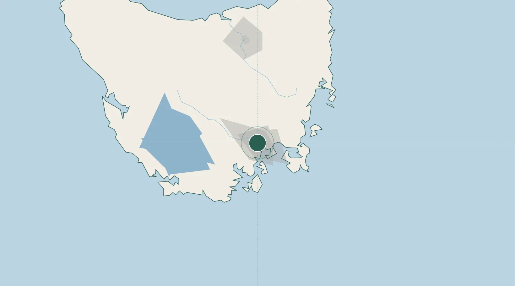
Nearby Logistics Neighbours

Cities
  1. 1Hobart5 km
  2. 2Cambridge12 km
  3. 3Rokeby13 km
  4. 4Blackmans Bay17 km
  5. 5New Norfolk20 km
Nearest neighbours — logibook spatial index (haversine) over the source coordinates
Ports
  1. 1Hobart6 km
  2. 2Port Huon45 km
  3. 3Launceston155 km
  4. 4Beauty Point191 km
  5. 5Port Dalrymple193 km
Nearest neighbours — logibook spatial index (haversine) over the source coordinates
Airports
  1. 1Hobart International Airport17 km
  2. 2Launceston Airport144 km
  3. 3Devonport Airport199 km
  4. 4Wynyard Airport242 km
  5. 5Smithton Airport288 km
Nearest neighbours — logibook spatial index (haversine) over the source coordinates
Trade Zones
  1. 1Latrobe Valley Economic Growth Zone517 km
  2. 2Hicks Bay Area Special Economic Zone2666 km
  3. 3Vanuatu Economic Development Zone3579 km
  4. 4Paga Hill Estate Special Economic Zone3708 km
  5. 5Ihu Special Economic Zone3889 km
Nearest neighbours — logibook spatial index (haversine) over the source coordinates
DatabookThe Record of Consolidated Knowledge
Australia beyond logistics?
Browse databook

All Sources

LocationsUN/LOCODE
UN/LOCODE — free
LocationsGeoNames
CC BY 4.0
Portsthe NGA World Port Index
Public domain (US gov)
AirportsOurAirports
Public domain
Trade Zonesthe World Bank SEZ database
CC BY 4.0
Trade ZonesOpen Zone Map
CC BY
← Australia locations