Transport Functions
Multimodal
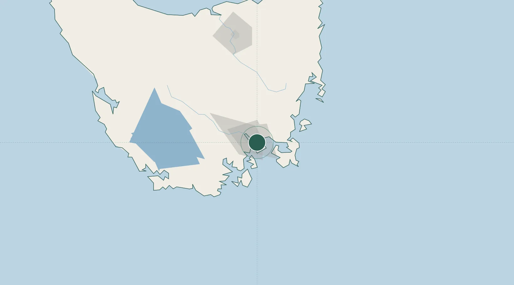
Hub Profile
Place type
Urban district
Region
Tasmania
Population
3,369
Time zone
Australia/Hobart
Elevation
24 m
Location
Nearby Logistics Neighbours
Cities
- 1Cambridge8 km
- 2Boyer13 km
- 3Blackmans Bay13 km
- 4Hobart18 km
- 5New Norfolk33 km
Ports
- 1Hobart8 km
- 2Port Huon47 km
- 3Launceston163 km
- 4Beauty Point201 km
- 5Port Dalrymple203 km
Airports
- 1Hobart International Airport10 km
- 2Launceston Airport152 km
- 3Devonport Airport210 km
- 4Wynyard Airport254 km
- 5Smithton Airport301 km
Trade Zones
DatabookThe Record of Consolidated Knowledge
Australia beyond logistics?