Large airport · Australia

Hobart International AirportYMHB
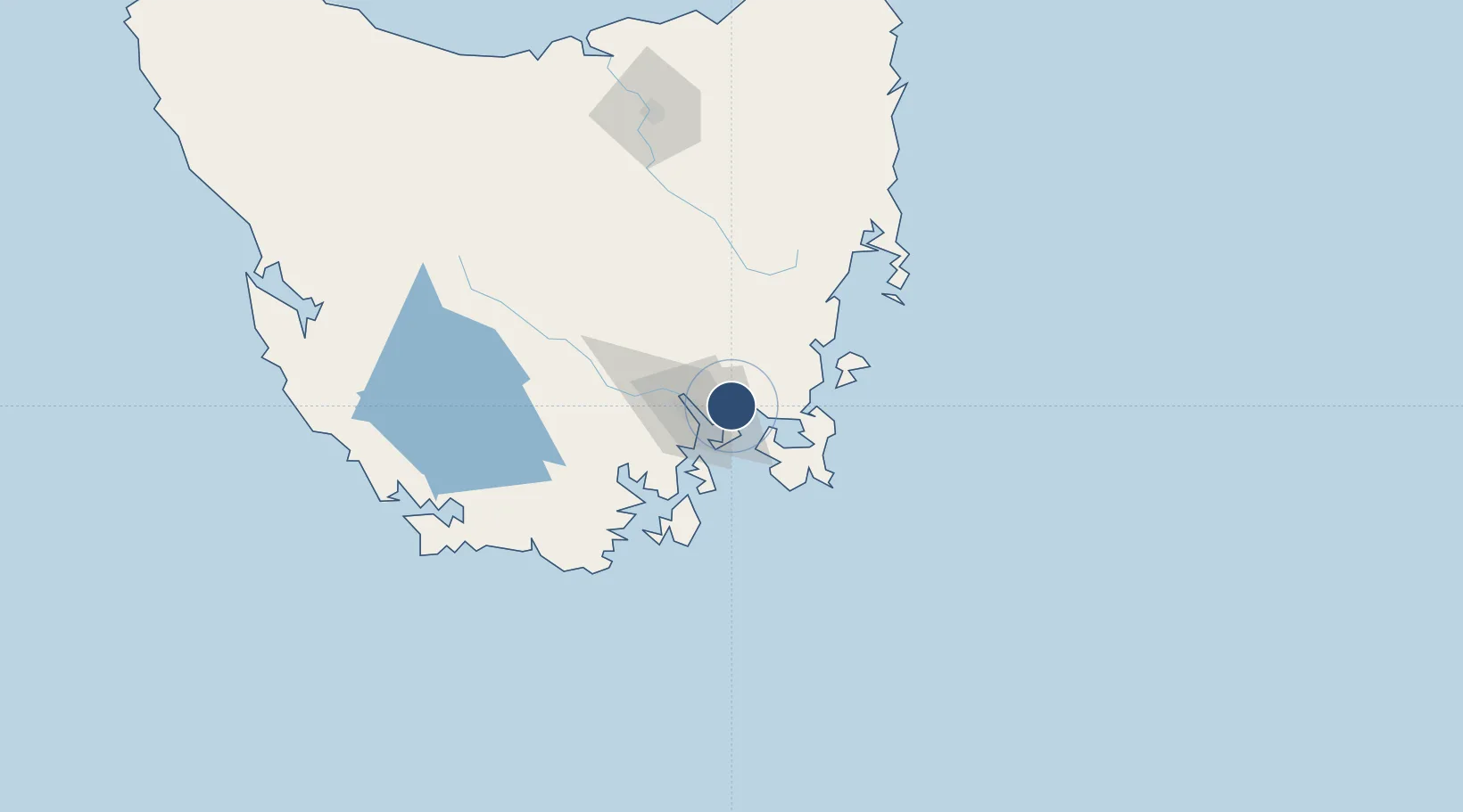
-42.8370°, 147.5130°
8,947 ft
Longest runway
1
Runways
13 ft
Elevation

Runway & Layout

Hobart International Airport runway & taxiway layout
Runway & taxiway layout — OpenStreetMap (ODbL) / OurAirports

Radio Frequencies

ATIS
112.7 MHz
TWR
118.1 MHz
CTAF
118.1 MHz
FSS
125.55 MHz
MELBOURNE CNTR
OurAirports

Navaids

HB VOR-DME Hobart 112.70 MHz
HB NDB Hobart 362 kHz
TTR NDB Tea Tree 374 kHz
OurAirports

Runways · 1

RunwayDimensions SurfaceTrue headingLit
12/30 8,947 × 148ft Asphalt 135°
OurAirports

Airport Specifications

IATA code
HBA
OurAirports
ICAO code
YMHB
OurAirports
Airport class
Large airport
OurAirports
Scheduled service
Yes
OurAirports
Runway surface
Asphalt
OurAirports
Served city
Hobart (Cambridge)
OurAirports

Location

Location of YMHB
Natural Earth 10m (public domain) · Tasmania · YMHB · -42.84, 147.51GoogleOSMYandex

Nearby Logistics Neighbours

Airports
  1. 1Launceston Airport146 km
  2. 2Devonport Airport206 km
  3. 3Wynyard Airport252 km
  4. 4Smithton Airport300 km
  5. 5Flinders Island Airport308 km
Nearest neighbours — logibook spatial index (haversine) over the source coordinates
Cities
  1. 1Cambridge5 km
  2. 2Rokeby10 km
  3. 3Boyer17 km
  4. 4Hobart22 km
  5. 5Blackmans Bay23 km
Nearest neighbours — logibook spatial index (haversine) over the source coordinates
Ports
  1. 1Hobart16 km
  2. 2Port Huon57 km
  3. 3Launceston158 km
  4. 4Beauty Point196 km
  5. 5Port Dalrymple198 km
Nearest neighbours — logibook spatial index (haversine) over the source coordinates
Trade Zones
  1. 1Latrobe Valley Economic Growth Zone521 km
  2. 2Hicks Bay Area Special Economic Zone2649 km
  3. 3Vanuatu Economic Development Zone3568 km
  4. 4Paga Hill Estate Special Economic Zone3709 km
  5. 5Ihu Special Economic Zone3891 km
Nearest neighbours — logibook spatial index (haversine) over the source coordinates
DatabookThe Record of Consolidated Knowledge
Australia beyond logistics?
Browse databook

All Sources

AirportsOurAirports
Public domain
Portsthe NGA World Port Index
Public domain (US gov)
LocationsUN/LOCODE
UN/LOCODE — free
Trade Zonesthe World Bank SEZ database
CC BY 4.0
Trade ZonesOpen Zone Map
CC BY
InfrastructureOpenStreetMap
ODbL 1.0
← Australia airports