Channel & Berth Profile
Pilotage, Tugs & Services
Pilotage compulsoryYES
Pilotage availableYES
Pilotage advisableYES
Tug assistanceYES
Shore powerYES
Potable waterYES
Diesel bunkersYES
MedicalYES
Garbage disposalYES
Facilities & Capabilities
Container—
Ro-Ro—
Liquid bulk—
Dry bulk—
Oil terminal—
Break bulk—
Dry dockNO
RepairsNO
BunkeringYES
Rail linkYES
Dangerous cargo—
ISPS security—
Harbour Specifications
Harbour size
Small
Harbour type
River (Natural)
Shelter
Excellent
Water body
Bass Strait; South Pacific Ocean
Tidal range
2 m
Overhead limit
Yes
Pilotage
Yes
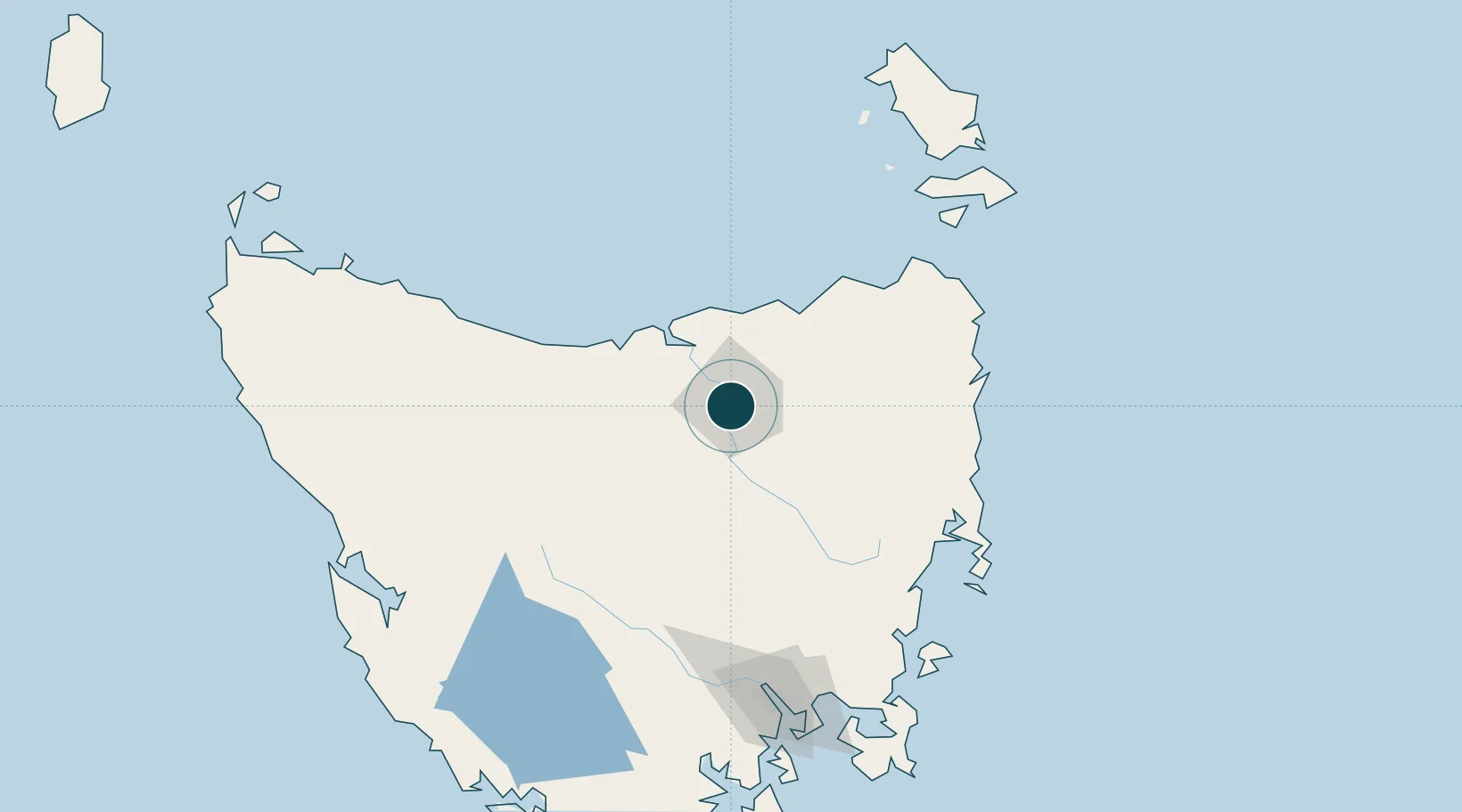
Location
Nearby Logistics Neighbours
Ports
- 1Beauty Point42 km
- 2Port Dalrymple42 km
- 3Devonport69 km
- 4Burnie107 km
- 5Hobart160 km
Cities
- 1Invermay4 km
- 2Mayfield8 km
- 3Mowbray Heights8 km
- 4Newnham8 km
- 5Evandale18 km
Airports
- 1Launceston Airport13 km
- 2Devonport Airport65 km
- 3Wynyard Airport127 km
- 4Hobart International Airport158 km
- 5Flinders Island Airport168 km
Trade Zones
DatabookThe Record of Consolidated Knowledge
Australia beyond logistics?