Transport Functions
Port
Multimodal
Hub Profile
Place type
Urban district
Region
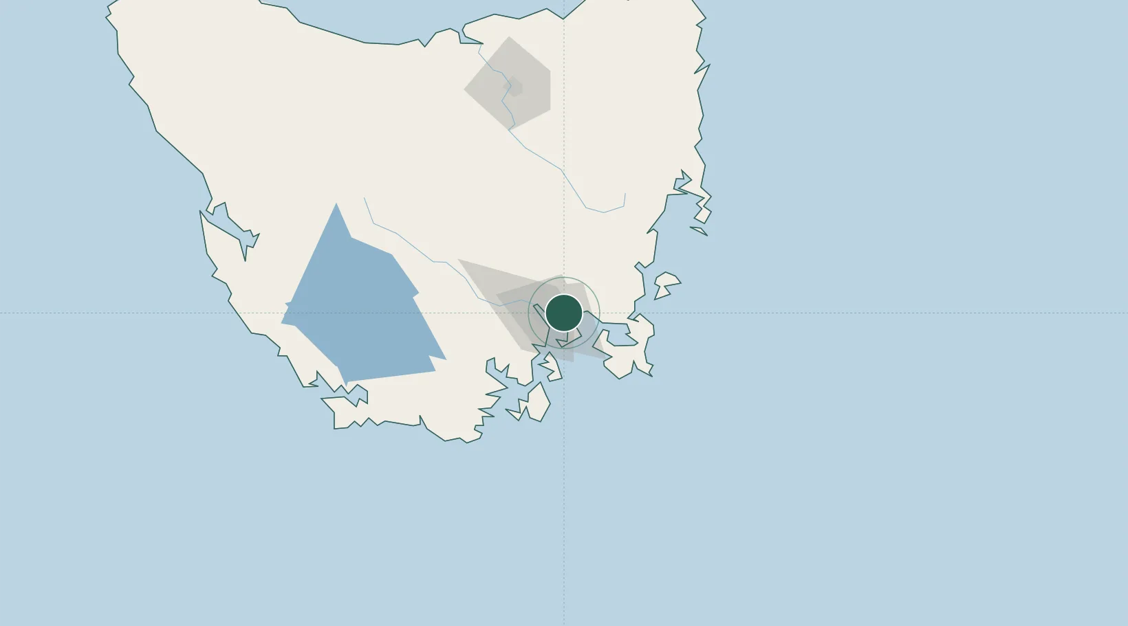
Tasmania
Population
1,223
Time zone
Australia/Hobart
Elevation
34 m
Location
Nearby Logistics Neighbours
Cities
- 1Rokeby8 km
- 2Boyer12 km
- 3Hobart16 km
- 4Blackmans Bay20 km
- 5New Norfolk32 km
Ports
- 1Hobart11 km
- 2Port Huon53 km
- 3Launceston156 km
- 4Beauty Point194 km
- 5Port Dalrymple196 km
Airports
- 1Hobart International Airport5 km
- 2Launceston Airport145 km
- 3Devonport Airport203 km
- 4Wynyard Airport249 km
- 5Smithton Airport296 km
Trade Zones
DatabookThe Record of Consolidated Knowledge
Australia beyond logistics?