Channel & Berth Profile
Pilotage, Tugs & Services
Pilotage availableYES
Potable waterYES
Facilities & Capabilities
Container—
Ro-Ro—
Liquid bulk—
Dry bulk—
Oil terminal—
Break bulk—
Dry dock—
Repairs—
BunkeringYES
Rail link—
Dangerous cargo—
ISPS security—
Harbour Specifications
Harbour size
Small
Harbour type
Coastal (Natural)
Shelter
Fair
Water body
South Atlantic Ocean
Tidal range
5 m
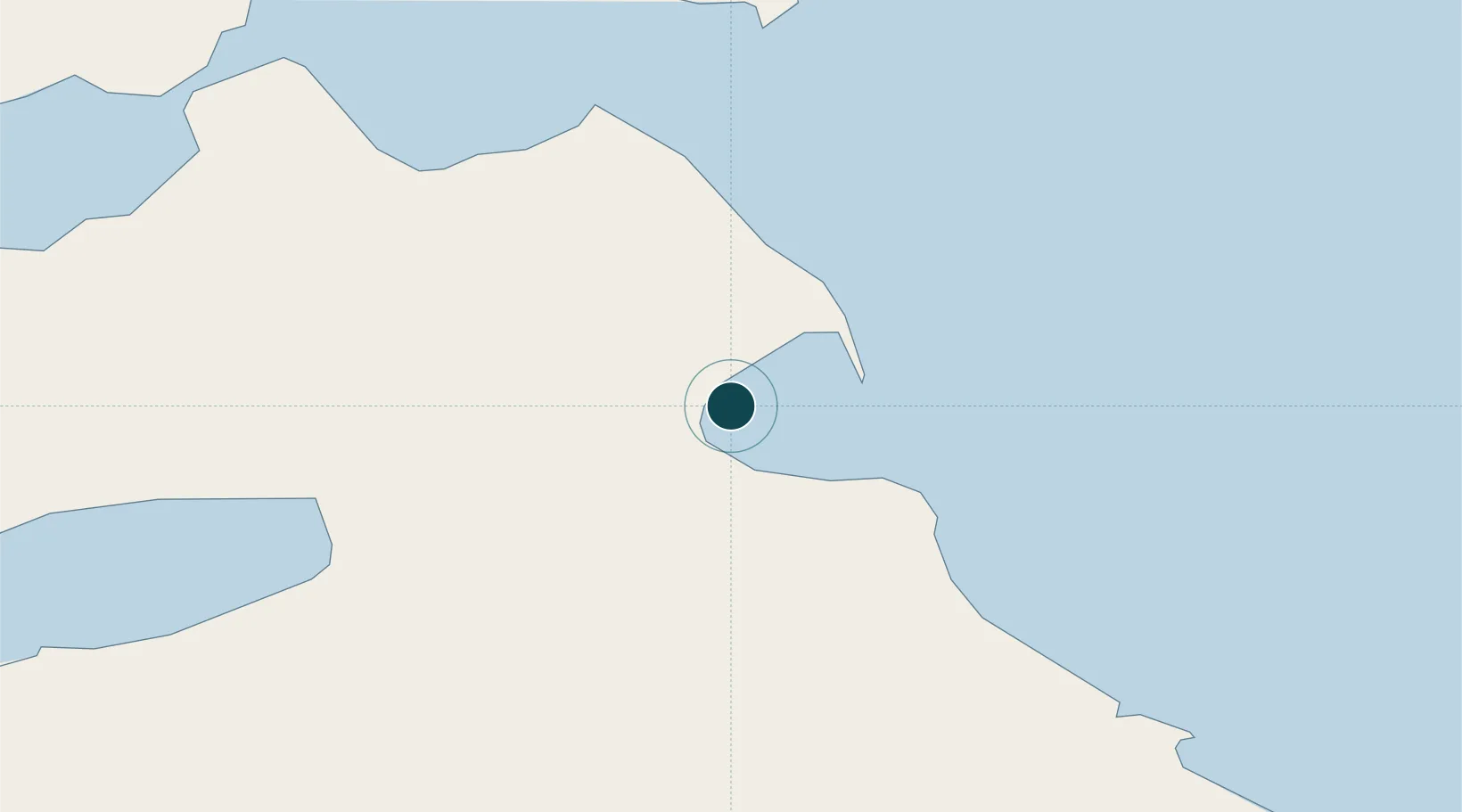
Location
Nearby Logistics Neighbours
Ports
- 1Rio Grande87 km
- 2Caleta Clarencia111 km
- 3Puerto Sara129 km
- 4Rada Punta Arenas160 km
- 5Puerto Gallegos175 km
Cities
- 1Rio Cullen46 km
- 2Río Grande87 km
- 3Caleta Clarencia112 km
- 4Puerto Percy122 km
- 5Bahía San Gregorio126 km
Airports
DatabookThe Record of Consolidated Knowledge
Argentina beyond logistics?