UN/LOCODE hub · Chile
CLCLR

Caleta Clarencia

-52.8833°, -70.1000°
1
Transport functions

Transport Functions

Port
Caleta Clarencia is also a profiled seaport →
UN/LOCODE

Hub Profile

Place type
Urban district
GeoNames
Region
Region of Magallanes
GeoNames
Time zone
America/Santiago
GeoNames
Elevation
25 m
GeoNames

Location

Location of CLCLR
Natural Earth 10m (public domain) · Region of Magallanes · CLCLR · -52.88, -70.10GoogleOSMYandex

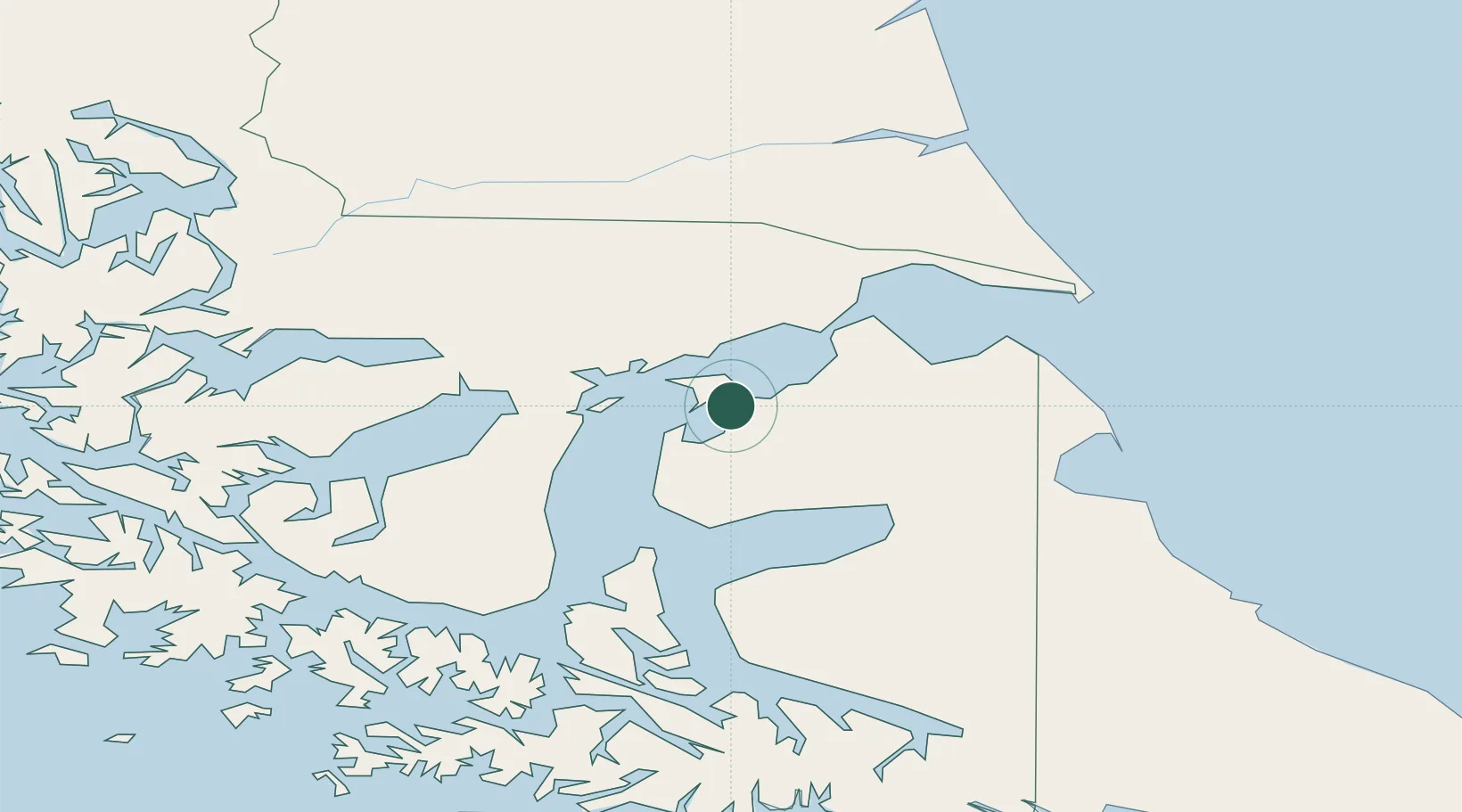
Nearby Logistics Neighbours

Cities
  1. 1Puerto Percy11 km
  2. 2Bahía San Gregorio30 km
  3. 3Bahia Laredo48 km
  4. 4Cabo Negro51 km
  5. 5Punta Arenas58 km
Nearest neighbours — logibook spatial index (haversine) over the source coordinates
Ports
  1. 1Puerto Sara29 km
  2. 2Rada Punta Arenas62 km
  3. 3San Sebastian Bay112 km
  4. 4Puerto Gallegos161 km
  5. 5Rio Grande189 km
Nearest neighbours — logibook spatial index (haversine) over the source coordinates
DatabookThe Record of Consolidated Knowledge
Chile beyond logistics?
Browse databook

All Sources

LocationsUN/LOCODE
UN/LOCODE — free
Portsthe NGA World Port Index
Public domain (US gov)
AirportsOurAirports
Public domain
Trade Zonesthe World Bank SEZ database
CC BY 4.0
Trade ZonesOpen Zone Map
CC BY
← Chile locations