Channel & Berth Profile
Pilotage, Tugs & Services
Pilotage compulsoryYES
Pilotage availableYES
Pilotage advisableYES
Tug assistanceYES
Facilities & Capabilities
Container—
Ro-Ro—
Liquid bulk—
Dry bulk—
Oil terminal—
Break bulk—
Dry dock—
Repairs—
Bunkering—
Rail link—
Dangerous cargo—
ISPS security—
Harbour Specifications
Harbour size
Very Small
Harbour type
Coastal (Natural)
Shelter
Fair
Water body
South Pacific Ocean
Tidal range
10 m
Pilotage
Yes
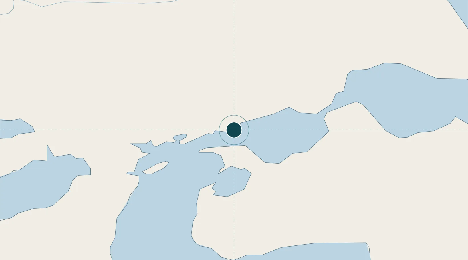
Location
Nearby Logistics Neighbours
Ports
- 1Caleta Clarencia30 km
- 2Rada Punta Arenas76 km
- 3San Sebastian Bay129 km
- 4Puerto Gallegos141 km
- 5Puerto Natales191 km
Cities
- 1Bahía San Gregorio5 km
- 2Caleta Clarencia29 km
- 3Puerto Percy30 km
- 4Bahia Laredo55 km
- 5Cabo Negro57 km
Airports
DatabookThe Record of Consolidated Knowledge
Chile beyond logistics?