Medium airport · Chile
Captain Fuentes Martinez AirportSCFM
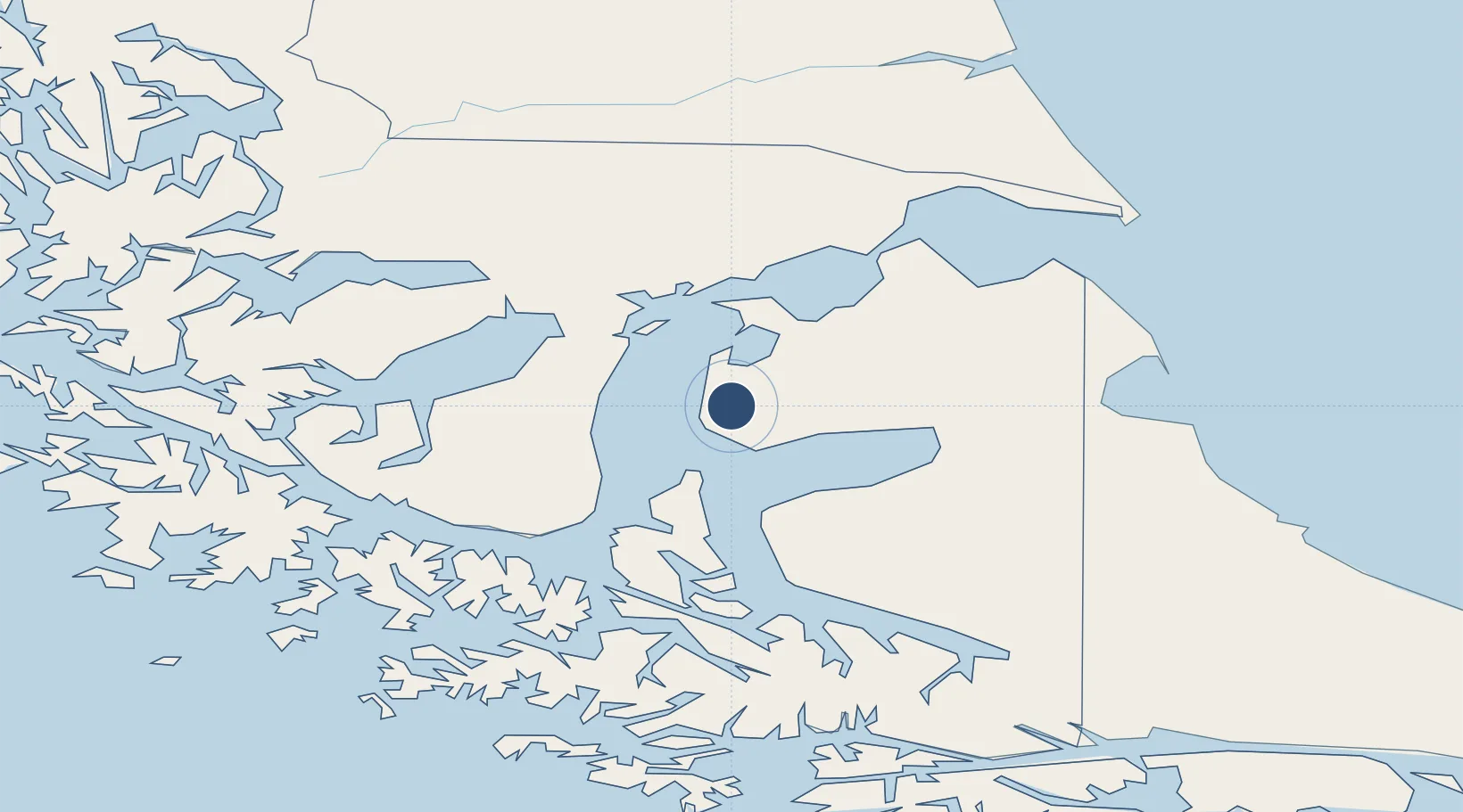
-53.2537°, -70.3192°
8,202 ft
Longest runway
2
Runways
104 ft
Elevation
Runway & Layout

Radio Frequencies
ARTC
128.1 MHz
PUNTA ARENAS CNTR
INFO
126.7 MHz
PORVENIR INFO
Navaids
CFM NDB Capitan Fuentes Martinez 340 kHz
Runways · 2
| Runway | Dimensions | Surface | True heading | Lit |
|---|---|---|---|---|
| 09/27 | 8,202 × 98ft | Asphalt | 110° | ✓ |
| 03/21 | 2,614 × 98ft | Gravel | 047° | — |
Airport Specifications
IATA code
WPR
ICAO code
SCFM
Airport class
Medium airport
Scheduled service
No
Runway surface
Asphalt
Served city
Porvenir
Location
Nearby Logistics Neighbours
Airports
Cities
- 1Punta Arenas39 km
- 2Panguipulli39 km
- 3Puerto Percy40 km
- 4Tres Puentes41 km
- 5Caleta Clarencia44 km
Ports
- 1Rada Punta Arenas40 km
- 2Caleta Clarencia42 km
- 3Puerto Sara69 km
- 4San Sebastian Bay122 km
- 5Rio Grande184 km
DatabookThe Record of Consolidated Knowledge
Chile beyond logistics?