Medium airport · Argentina
Hermes Quijada International AirportSAWE
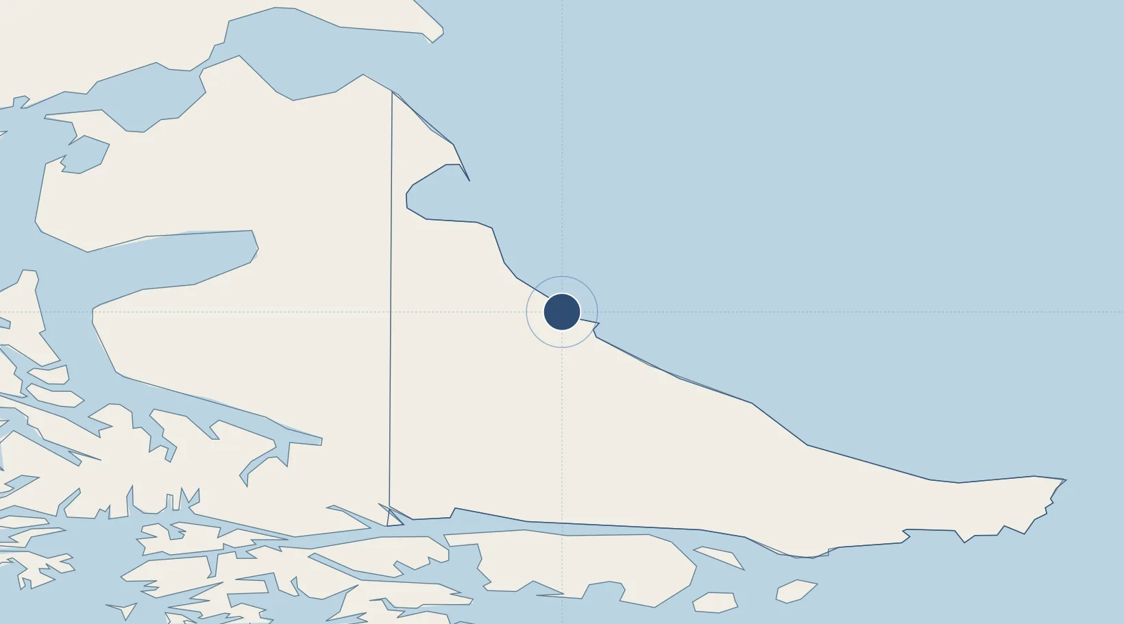
-53.7777°, -67.7494°
6,562 ft
Longest runway
1
Runways
65 ft
Elevation
Runway & Layout

Radio Frequencies
TWR
118.3 MHz
GRANDE TWR/APP
Navaids
GRA VOR-DME Rio Grande 117.30 MHz
GRA NDB Rio Grande 365 kHz
P NDB Rio Grande 265 kHz
Runways · 1
| Runway | Dimensions | Surface | True heading | Lit |
|---|---|---|---|---|
| 7/25 | 6,562 × 131ft | Asphalt | 088° | ✓ |
Airport Specifications
IATA code
RGA
ICAO code
SAWE
Airport class
Medium airport
Scheduled service
Yes
Runway surface
Asphalt
Served city
Rio Grande
Location
Nearby Logistics Neighbours
Airports
Cities
- 1Río Grande3 km
- 2San Sebastián71 km
- 3Rio Cullen113 km
- 4Ushuaia118 km
- 5Puerto Williams127 km
Ports
- 1Rio Grande4 km
- 2San Sebastian Bay84 km
- 3Ushuaia121 km
- 4Puerto Williams129 km
- 5Caleta Clarencia184 km
DatabookThe Record of Consolidated Knowledge
Argentina beyond logistics?