Medium airport · Argentina
Ushuaia - Malvinas Argentinas International AirportSAWH
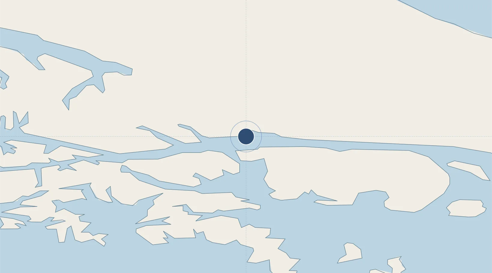
-54.8433°, -68.2958°
9,186 ft
Longest runway
1
Runways
102 ft
Elevation
Runway & Layout

Radio Frequencies
TWR
118.1 MHz
TWR/APP
RDO
122.1 MHz
Navaids
USU VOR Ushuaia 113.70 MHz
Runways · 1
| Runway | Dimensions | Surface | True heading | Lit |
|---|---|---|---|---|
| 7/25 | 9,186 × 148ft | Concrete | 086° | ✓ |
Airport Specifications
IATA code
USH
ICAO code
SAWH
Airport class
Medium airport
Scheduled service
Yes
Runway surface
Concrete
Served city
Ushuaia
Location
Nearby Logistics Neighbours
Airports
Cities
- 1Ushuaia6 km
- 2Puerto Williams44 km
- 3Río Grande124 km
- 4Cabo de Hornos143 km
- 5San Sebastián172 km
Ports
- 1Ushuaia3 km
- 2Puerto Williams46 km
- 3Rio Grande124 km
- 4San Sebastian Bay187 km
- 5Caleta Clarencia246 km
DatabookThe Record of Consolidated Knowledge
Argentina beyond logistics?