Seaport · Argentina

Rio GrandeARRGA

-53.7833°, -67.6833°
Rio Grande is also a UN/LOCODE logistics hub →

Channel & Berth Profile

NGA World Port Index

Pilotage, Tugs & Services

Pilotage compulsoryYES
Local assistanceYES
Potable waterYES
Diesel bunkersYES
MedicalYES
NGA World Port Index

Facilities & Capabilities

Container
Ro-Ro
Liquid bulk
Dry bulk
Oil terminal
Break bulk
Dry dock
RepairsNO
BunkeringYES
Rail link
Dangerous cargo
ISPS security
NGA World Port Index

Harbour Specifications

Harbour size
Very Small
NGA World Port Index
Harbour type
River (Natural)
NGA World Port Index
Shelter
Good
NGA World Port Index
Water body
South Atlantic Ocean
NGA World Port Index
Tidal range
6 m
NGA World Port Index
Pilotage
Yes
NGA World Port Index

Location

Location of ARRGA
Natural Earth 10m (public domain) · Tierra del Fuego · ARRGA · -53.78, -67.68GoogleOSMYandex

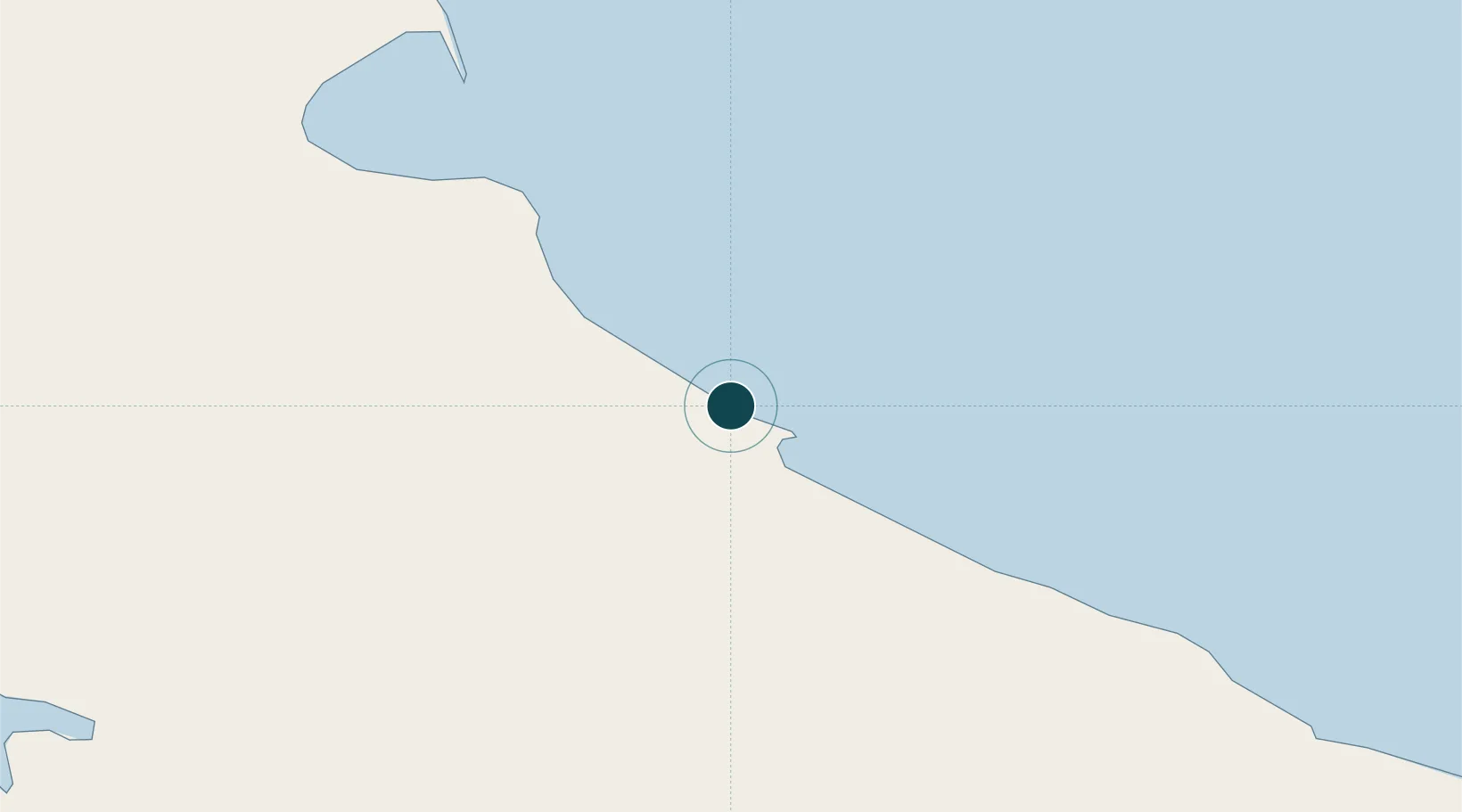
Nearby Logistics Neighbours

Ports
  1. 1San Sebastian Bay87 km
  2. 2Ushuaia122 km
  3. 3Puerto Williams128 km
  4. 4Caleta Clarencia188 km
  5. 5Puerto Sara211 km
Nearest neighbours — logibook spatial index (haversine) over the source coordinates
Cities
  1. 1San Sebastián75 km
  2. 2Rio Cullen114 km
  3. 3Ushuaia119 km
  4. 4Puerto Williams126 km
  5. 5Naschel181 km
Nearest neighbours — logibook spatial index (haversine) over the source coordinates
DatabookThe Record of Consolidated Knowledge
Argentina beyond logistics?
Browse databook

All Sources

Portsthe NGA World Port Index
Public domain (US gov)
AirportsOurAirports
Public domain
LocationsUN/LOCODE
UN/LOCODE — free
Trade Zonesthe World Bank SEZ database
CC BY 4.0
Trade ZonesOpen Zone Map
CC BY
← Argentina ports