Free Trade Zone · Chile

Punta Arenas Free Trade Zone Active
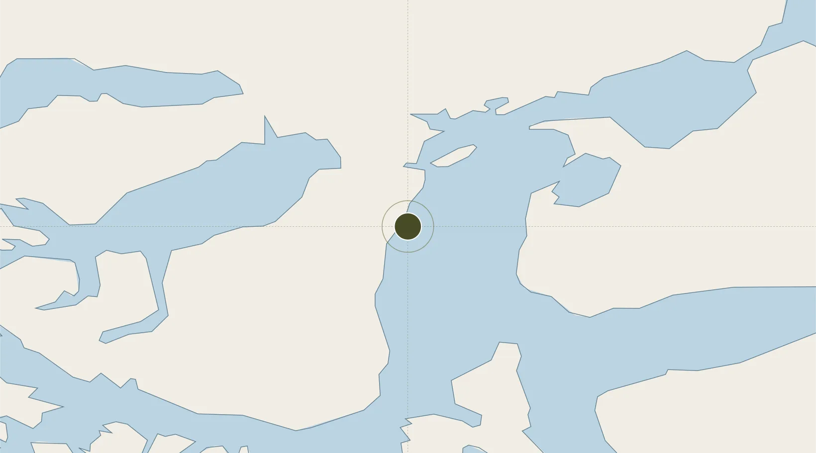
-53.1344°, -70.8725°
53 ha
Zone area
4.0 km
Nearest port
14.7 km
Nearest airport

Gateway access

Nearest neighbours — logibook spatial index (haversine) over the source coordinates

Zone profile

Zone type
Free Trade Zone
the World Bank SEZ database
Region
Magallanes y Antártica Chilena
the World Bank SEZ database
Status
Active
the World Bank SEZ database
Established
1977
the World Bank SEZ database
Management
Private management
the World Bank SEZ database
Operator
Sociedad de Rentas Inmobiliarias Ltda. (SRI)
the World Bank SEZ database
Regulatory authority
Government of Chile
the World Bank SEZ database
Legal framework
Free Trade Zone No 2/2001
the World Bank SEZ database

Location

Location of CHL2
Natural Earth 10m (public domain) · Magallanes y Antártica Chilena · CHL2 · -53.13, -70.87GoogleOSMYandex

Fiscal & incentives

Corporate tax
24%
the World Bank SEZ database
Tax relief
100% exempt
the World Bank SEZ database
Relief duration
Perpetual
the World Bank SEZ database
VAT
100% exempt from VAT
the World Bank SEZ database
Import duty (inputs)
100% exempt
the World Bank SEZ database
Import duty (capex)
100% exempt
the World Bank SEZ database
Profit repatriation
No exemption
the World Bank SEZ database
Capital gains
No exemption
the World Bank SEZ database
Withholding tax
No exemption
the World Bank SEZ database
Min. investment
None
the World Bank SEZ database
Min. export
0%
the World Bank SEZ database
Employment incentive
No exemption
the World Bank SEZ database
Developer incentive
Yes
the World Bank SEZ database

Nearby Logistics Neighbours

Ports
  1. 1Rada Punta Arenas4 km
  2. 2Caleta Clarencia58 km
  3. 3Puerto Sara72 km
  4. 4San Sebastian Bay158 km
  5. 5Puerto Natales195 km
Nearest neighbours — logibook spatial index (haversine) over the source coordinates
Airports
  1. 1President Carlos Ibáñez International Airport15 km
  2. 2Captain Fuentes Martinez Airport39 km
  3. 328 de Noviembre Airport193 km
  4. 4Lieutenant Julio Gallardo Airport198 km
  5. 5Piloto Civil Norberto Fernández International Airport200 km
Nearest neighbours — logibook spatial index (haversine) over the source coordinates
Cities
  1. 1Punta Arenas1 km
  2. 2Panguipulli1 km
  3. 3Tres Puentes2 km
  4. 4Cabo Negro19 km
  5. 5Bahia Laredo19 km
Nearest neighbours — logibook spatial index (haversine) over the source coordinates
DatabookThe Record of Consolidated Knowledge
Chile beyond logistics?
Browse databook

All Sources

Trade Zonesthe World Bank SEZ database
CC BY 4.0
Portsthe NGA World Port Index
Public domain (US gov)
AirportsOurAirports
Public domain
LocationsUN/LOCODE
UN/LOCODE — free
← Chile trade zones