Seaport · Chile

Rada Punta ArenasCLPUQ
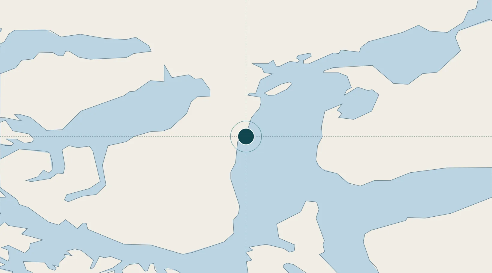
-53.1667°, -70.9000°
1
Container terminals
11.1
Port liner connectivity
Rada Punta Arenas is also a UN/LOCODE logistics hub →

Channel & Berth Profile

SEA LEVEL (CD)CHANNEL BEDCargo pier · 9.4 mOil terminal · 9.4 mAnchorage · 17.1 m
NGA World Port Index

Pilotage, Tugs & Services

Pilotage compulsoryYES
Pilotage availableYES
Pilotage advisableYES
Tug assistanceYES
Salvage tugsYES
Shore powerYES
Potable waterYES
Diesel bunkersYES
MedicalYES
Garbage disposalYES
NGA World Port Index

Facilities & Capabilities

Container
Ro-Ro
Liquid bulk
Dry bulk
Oil terminal
Break bulk
Dry dock
RepairsNO
BunkeringYES
Rail link
Dangerous cargo
ISPS security
NGA World Port Index

Harbour Specifications

Harbour size
Small
NGA World Port Index
Harbour type
Open Roadstead
NGA World Port Index
Shelter
Fair
NGA World Port Index
Water body
South Pacific Ocean
NGA World Port Index
Tidal range
4 m
NGA World Port Index
Pilotage
Yes
NGA World Port Index

Liner Connectivity

11.1
PLSCI

Port Liner Shipping Connectivity Index for Rada Punta Arenas, as published by UNCTAD for the latest available quarter. Higher values indicate stronger scheduled liner-shipping integration.

Shown relative to the highest per-port PLSCI in the dataset (1,657.9).

UNCTAD · Port Liner Shipping Connectivity Index

Location

Location of CLPUQ
Natural Earth 10m (public domain) · Magallanes y Antártica Chilena · CLPUQ · -53.17, -70.90GoogleOSMYandex

Container Terminals · 1

TERMINAL SANTOS MARDONES
SMA EPAUSTRAL
SMDG Terminal Code List

Nearby Logistics Neighbours

Ports
  1. 1Caleta Clarencia61 km
  2. 2Puerto Sara76 km
  3. 3San Sebastian Bay160 km
  4. 4Puerto Natales197 km
  5. 5Puerto Gallegos217 km
Nearest neighbours — logibook spatial index (haversine) over the source coordinates
Cities
  1. 1Panguipulli5 km
  2. 2Tres Puentes6 km
  3. 3Cabo Negro23 km
  4. 4Bahia Laredo23 km
  5. 5Pecket31 km
Nearest neighbours — logibook spatial index (haversine) over the source coordinates
Airports
  1. 1President Carlos Ibáñez International Airport19 km
  2. 2Captain Fuentes Martinez Airport40 km
  3. 328 de Noviembre Airport195 km
  4. 4Lieutenant Julio Gallardo Airport200 km
  5. 5Piloto Civil Norberto Fernández International Airport204 km
Nearest neighbours — logibook spatial index (haversine) over the source coordinates
DatabookThe Record of Consolidated Knowledge
Chile beyond logistics?
Browse databook

All Sources

Portsthe NGA World Port Index
Public domain (US gov)
Logistics performanceUNCTAD
CC BY 3.0 IGO
Portsthe SMDG Terminal Code List
UN/LOCODE — free, attribution
AirportsOurAirports
Public domain
LocationsUN/LOCODE
UN/LOCODE — free
Trade Zonesthe World Bank SEZ database
CC BY 4.0
Trade ZonesOpen Zone Map
CC BY
← Chile ports