Transport Functions
Port
Hub Profile
Place type
Urban district
Region
Region of Magallanes
Time zone
America/Santiago
Elevation
5 m
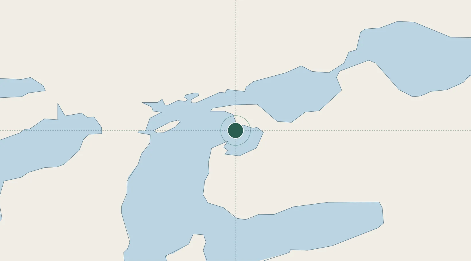
Location
Nearby Logistics Neighbours
Cities
- 1Caleta Clarencia11 km
- 2Bahía San Gregorio33 km
- 3Bahia Laredo37 km
- 4Cabo Negro40 km
- 5Punta Arenas47 km
Ports
- 1Caleta Clarencia11 km
- 2Puerto Sara30 km
- 3Rada Punta Arenas52 km
- 4San Sebastian Bay122 km
- 5Puerto Gallegos168 km
Airports
DatabookThe Record of Consolidated Knowledge
Chile beyond logistics?