Transport Functions
Port
Hub Profile
Region
MA
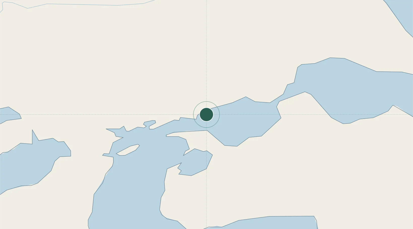
Location
Nearby Logistics Neighbours
Cities
- 1Caleta Clarencia30 km
- 2Puerto Percy33 km
- 3Bahia Laredo59 km
- 4Cabo Negro62 km
- 5Punta Arenas75 km
Ports
- 1Puerto Sara5 km
- 2Caleta Clarencia32 km
- 3Rada Punta Arenas80 km
- 4San Sebastian Bay126 km
- 5Puerto Gallegos137 km
Airports
DatabookThe Record of Consolidated Knowledge
Chile beyond logistics?