Large airport · Chile
President Carlos Ibáñez International AirportSCCI
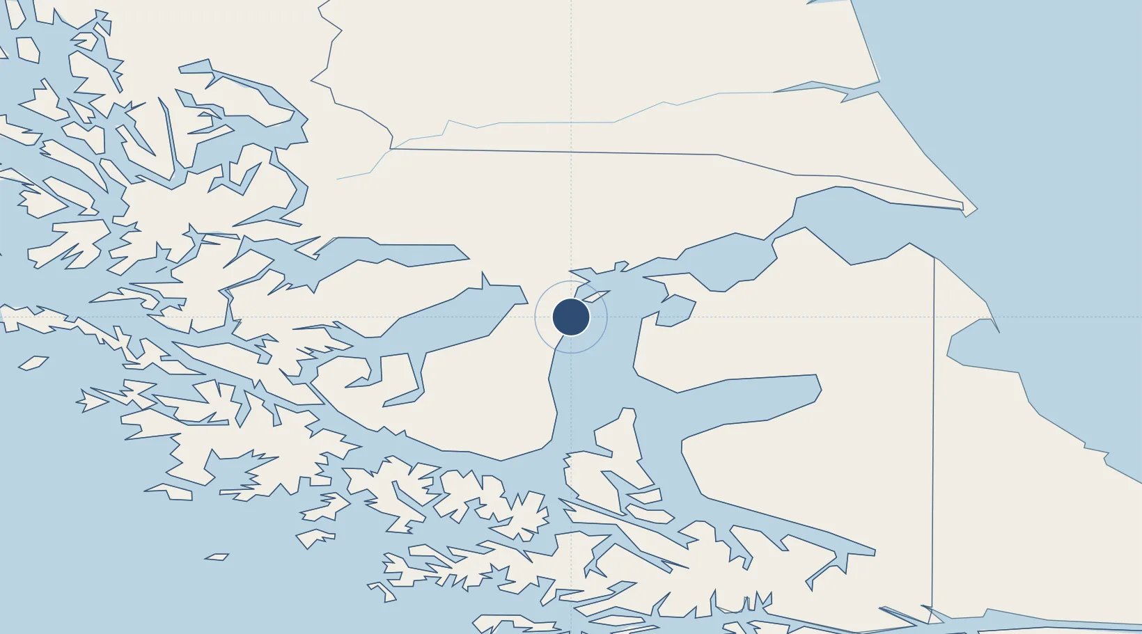
-53.0026°, -70.8546°
9,154 ft
Longest runway
3
Runways
139 ft
Elevation
Runway & Layout

Radio Frequencies
TWR
118.7 MHz
PUNTA ARENAS TWR
GND
121.9 MHz
APP
128.1 MHz
PUNTA ARENAS APP
RDO
664.9 MHz
PUNTA ARENAS RDO
Navaids
AS NDB Punta Arenas 300 kHz
NAS VOR-DME Punta Arenas 114.10 MHz
NAS NDB Punta Arenas 270 kHz
Runways · 3
| Runway | Dimensions | Surface | True heading | Lit |
|---|---|---|---|---|
| 07/25 | 9,154 × 148ft | Asphalt | 089° | ✓ |
| 12/30 | 7,875 × 148ft | Asphalt | 139° | ✓ |
| 01/19 | 5,504 × 148ft | Asphalt | 029° | ✓ |
Airport Specifications
IATA code
PUQ
ICAO code
SCCI
Airport class
Large airport
Scheduled service
Yes
Runway surface
Asphalt
Served city
Punta Arenas
Location
Nearby Logistics Neighbours
Airports
Cities
- 1Cabo Negro4 km
- 2Bahia Laredo5 km
- 3Tres Puentes13 km
- 4Panguipulli13 km
- 5Punta Arenas14 km
Ports
- 1Rada Punta Arenas19 km
- 2Caleta Clarencia52 km
- 3Puerto Sara60 km
- 4San Sebastian Bay158 km
- 5Puerto Natales184 km
DatabookThe Record of Consolidated Knowledge
Chile beyond logistics?