Channel & Berth Profile
Pilotage, Tugs & Services
Pilotage availableYES
Pilotage advisableYES
Tug assistanceYES
Potable waterYES
Facilities & Capabilities
Container—
Ro-Ro—
Liquid bulk—
Dry bulk—
Oil terminal—
Break bulk—
Dry dock—
Repairs—
Bunkering—
Rail link—
Dangerous cargo—
ISPS security—
Harbour Specifications
Harbour size
Very Small
Harbour type
Coastal (Natural)
Shelter
Fair
Water body
South Pacific Ocean
Tidal range
7 m
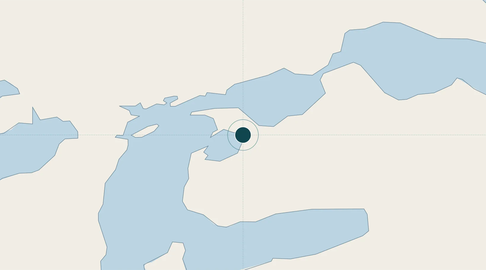
Location
Nearby Logistics Neighbours
Ports
- 1Puerto Sara30 km
- 2Rada Punta Arenas61 km
- 3San Sebastian Bay111 km
- 4Puerto Gallegos162 km
- 5Rio Grande188 km
Cities
- 1Puerto Percy11 km
- 2Bahía San Gregorio32 km
- 3Bahia Laredo48 km
- 4Cabo Negro51 km
- 5Punta Arenas57 km
Airports
DatabookThe Record of Consolidated Knowledge
Chile beyond logistics?