Economic Revitalization Project · Argentina

Tierra del Fuego ProvInce Special Customs Area (SCA) Active
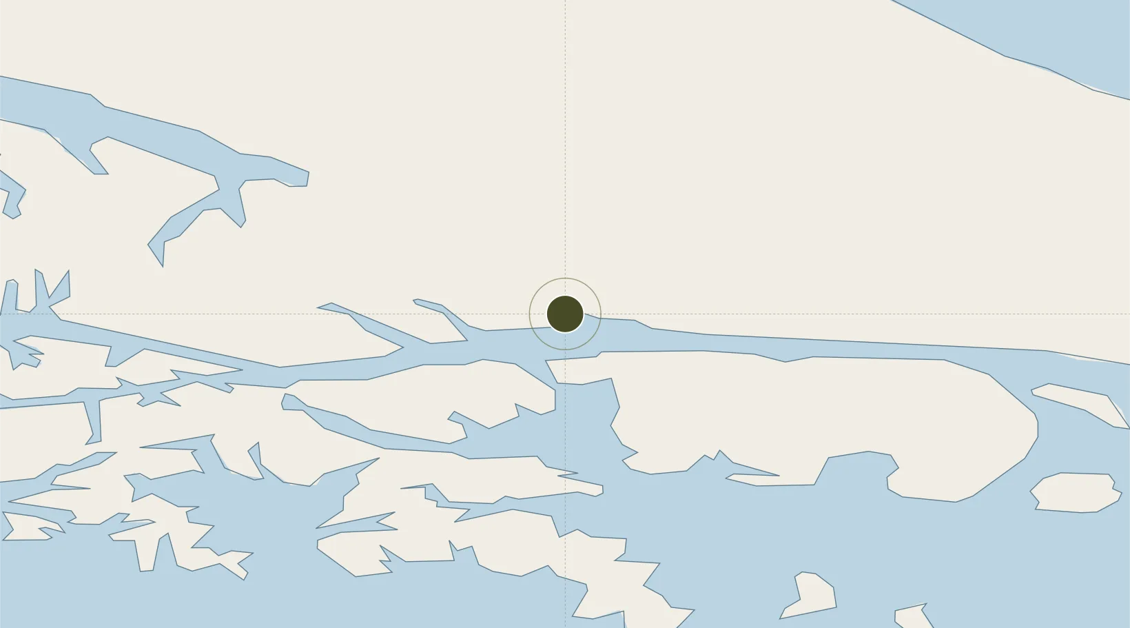
-54.8074°, -68.3086°
9 ha
Zone area
1.2 km
Nearest port
4.1 km
Nearest airport

Gateway access

Nearest neighbours — logibook spatial index (haversine) over the source coordinates

Zone profile

Zone type
Economic Revitalization Project
Open Zone Map
Region
Tierra del Fuego
Open Zone Map
Status
Active
Open Zone Map
Management
Public
Open Zone Map
Operator
Gobierno de Tierra del Fuego
Open Zone Map
Legal framework
Law 19640, Law No 24.331 of Free Zones, External Note N1/2008
Open Zone Map

Location

Location of ozm-36
Natural Earth 10m (public domain) · Tierra del Fuego · ozm-36 · -54.81, -68.31GoogleOSMYandex

Nearby Logistics Neighbours

Ports
  1. 1Ushuaia1 km
  2. 2Puerto Williams48 km
  3. 3Rio Grande121 km
  4. 4San Sebastian Bay183 km
  5. 5Caleta Clarencia242 km
Nearest neighbours — logibook spatial index (haversine) over the source coordinates
Cities
  1. 1Ushuaia3 km
  2. 2Puerto Williams46 km
  3. 3Río Grande121 km
  4. 4Cabo de Hornos147 km
  5. 5San Sebastián168 km
Nearest neighbours — logibook spatial index (haversine) over the source coordinates
Trade Zones
  1. 1Punta Arenas Free Trade Zone250 km
  2. 2La Zona Franca Santa Cruz (ZFSC) - Río Gallegos351 km
  3. 3La Zona Franca Santa Cruz (ZFSC) - Caleta Olivia928 km
  4. 4Comodoro Free Trade Zone991 km
  5. 5Comodoro Free Trade Zone Zona Franca Chubut996 km
Nearest neighbours — logibook spatial index (haversine) over the source coordinates
DatabookThe Record of Consolidated Knowledge
Argentina beyond logistics?
Browse databook

All Sources

Trade ZonesOpen Zone Map
CC BY
Portsthe NGA World Port Index
Public domain (US gov)
AirportsOurAirports
Public domain
LocationsUN/LOCODE
UN/LOCODE — free
← Argentina trade zones