Transport Functions
Port
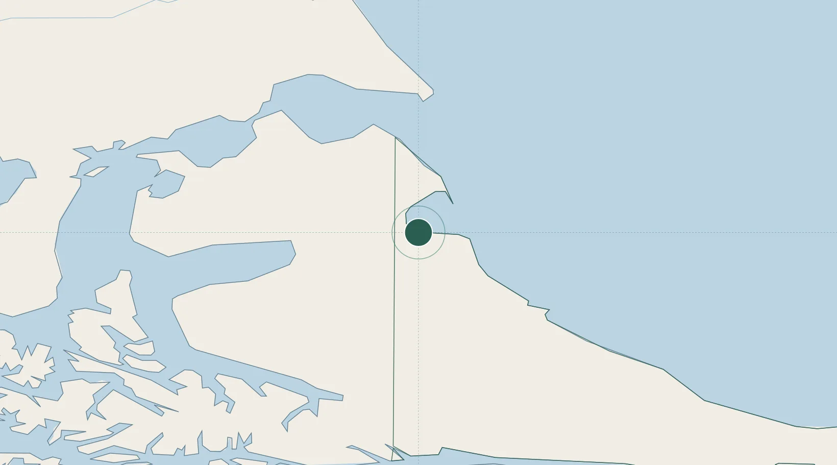
Hub Profile
Place type
Populated place
Region
Tierra del Fuego
Time zone
America/Argentina/Ushuaia
Elevation
1 m
Location
Nearby Logistics Neighbours
Cities
- 1Rio Cullen59 km
- 2Río Grande74 km
- 3Caleta Clarencia119 km
- 4Puerto Percy128 km
- 5Bahía San Gregorio135 km
Ports
- 1Rio Grande75 km
- 2Caleta Clarencia118 km
- 3Puerto Sara138 km
- 4Rada Punta Arenas163 km
- 5Ushuaia169 km
Airports
DatabookThe Record of Consolidated Knowledge
Argentina beyond logistics?