UN/LOCODE hub · Argentina
ARRGA
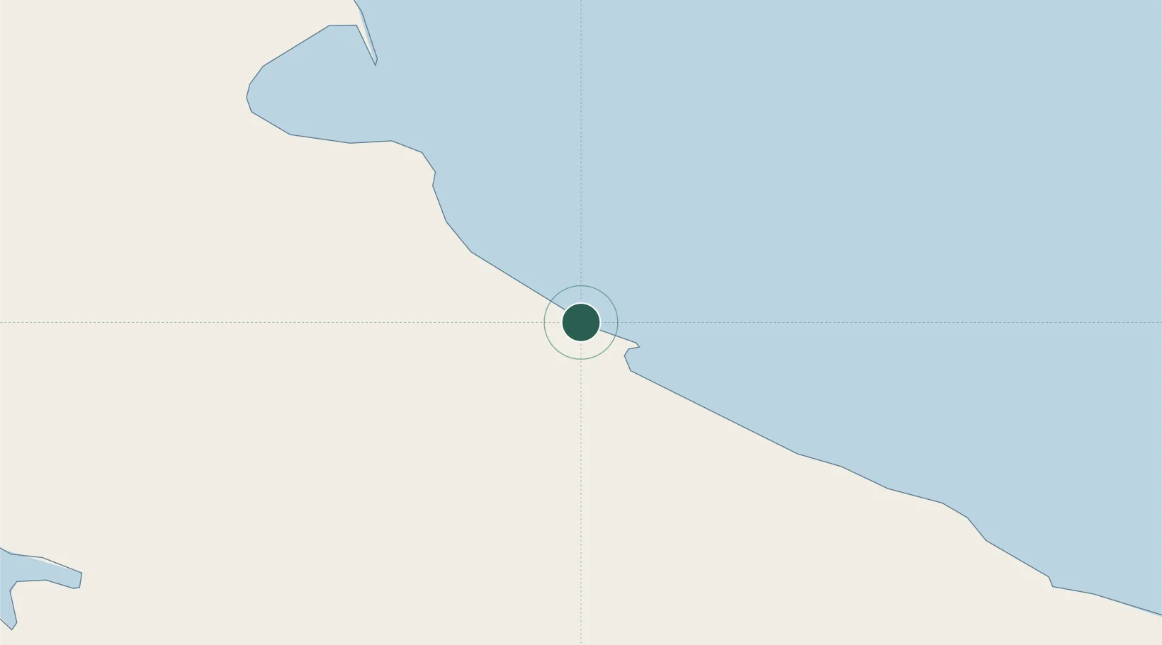
Río Grande
-53.7833°, -67.7000°
52,681
Population
2
Transport functions
Transport Functions
Port
Airport
Hub Profile
Place type
Provincial seat
Region
Tierra del Fuego
Population
52,681
Time zone
America/Argentina/Ushuaia
Elevation
9 m
Location
Nearby Logistics Neighbours
Cities
- 1San Sebastián74 km
- 2Rio Cullen114 km
- 3Ushuaia118 km
- 4Puerto Williams126 km
- 5Naschel182 km
Ports
- 1San Sebastian Bay87 km
- 2Ushuaia121 km
- 3Puerto Williams128 km
- 4Caleta Clarencia187 km
- 5Puerto Sara210 km
Airports
DatabookThe Record of Consolidated Knowledge
Argentina beyond logistics?