Channel & Berth Profile
Pilotage, Tugs & Services
Pilotage compulsoryYES
Pilotage availableYES
Facilities & Capabilities
Container—
Ro-Ro—
Liquid bulk—
Dry bulk—
Oil terminal—
Break bulk—
Dry dock—
Repairs—
Bunkering—
Rail linkNO
Dangerous cargo—
ISPS security—
Harbour Specifications
Harbour size
Very Small
Harbour type
Open Roadstead
Shelter
Poor
Water body
South Atlantic Ocean
Pilotage
Yes
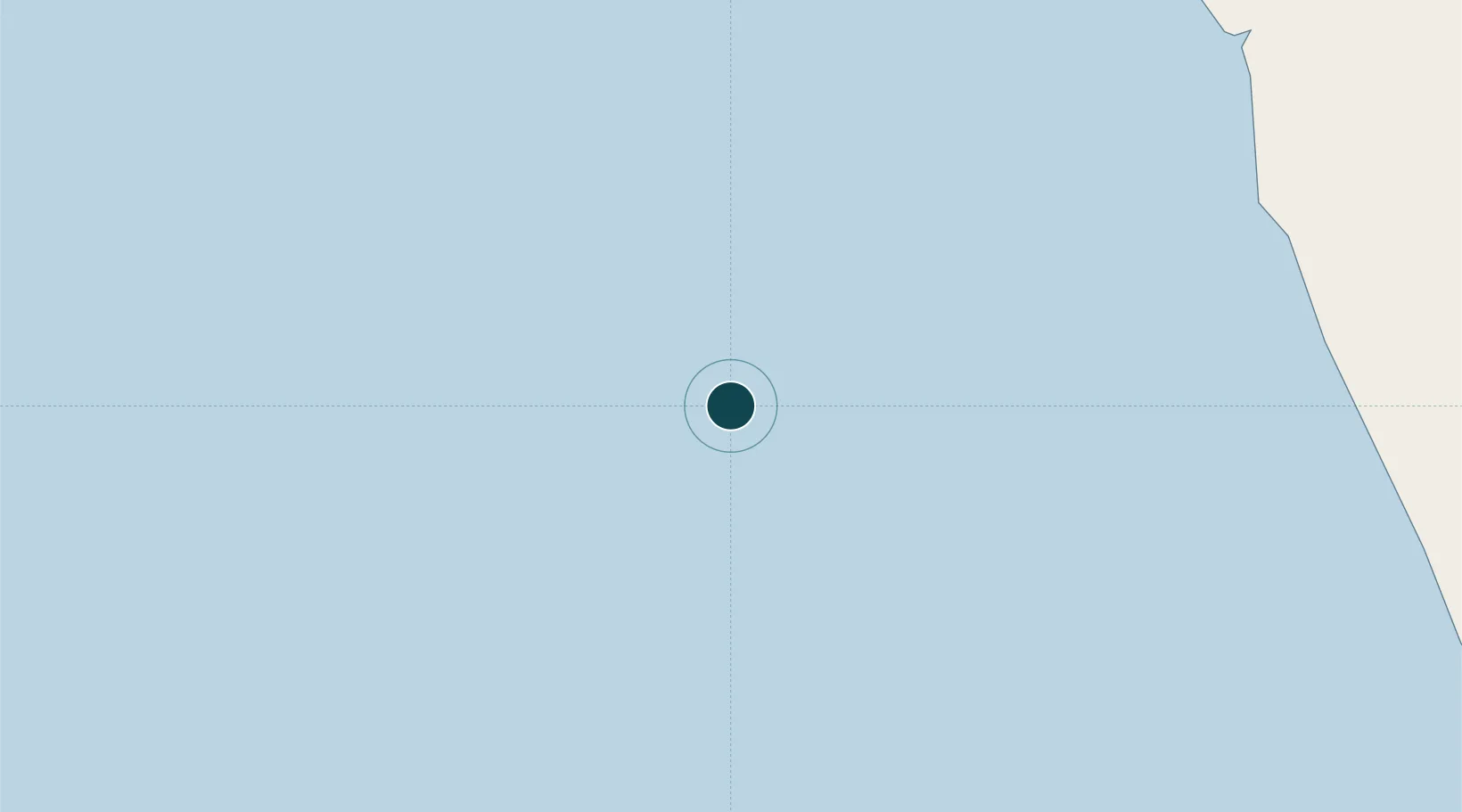
Location
Nearby Logistics Neighbours
Ports
- 1Girassol Terminal10 km
- 2Greater Plutonio Terminal40 km
- 3Palanca Terminal107 km
- 4Porto Do Ambriz148 km
- 5Soyo Angola Lng Terminal185 km
Cities
- 1Girassol Terminal11 km
- 2Greater Plutonio42 km
- 3Gimboa47 km
- 4Lombo Terminal101 km
- 5N'Zeto (Ambrizete)128 km
Airports
- 1Soyo Airport184 km
- 2Quatro de Fevereiro International Airport208 km
- 3Cabinda Airport237 km
- 4Dr. Antonio Agostinho Neto International Airport244 km
- 5Mbanza Congo Airport316 km
Trade Zones
DatabookThe Record of Consolidated Knowledge
Angola beyond logistics?