Transport Functions
Port
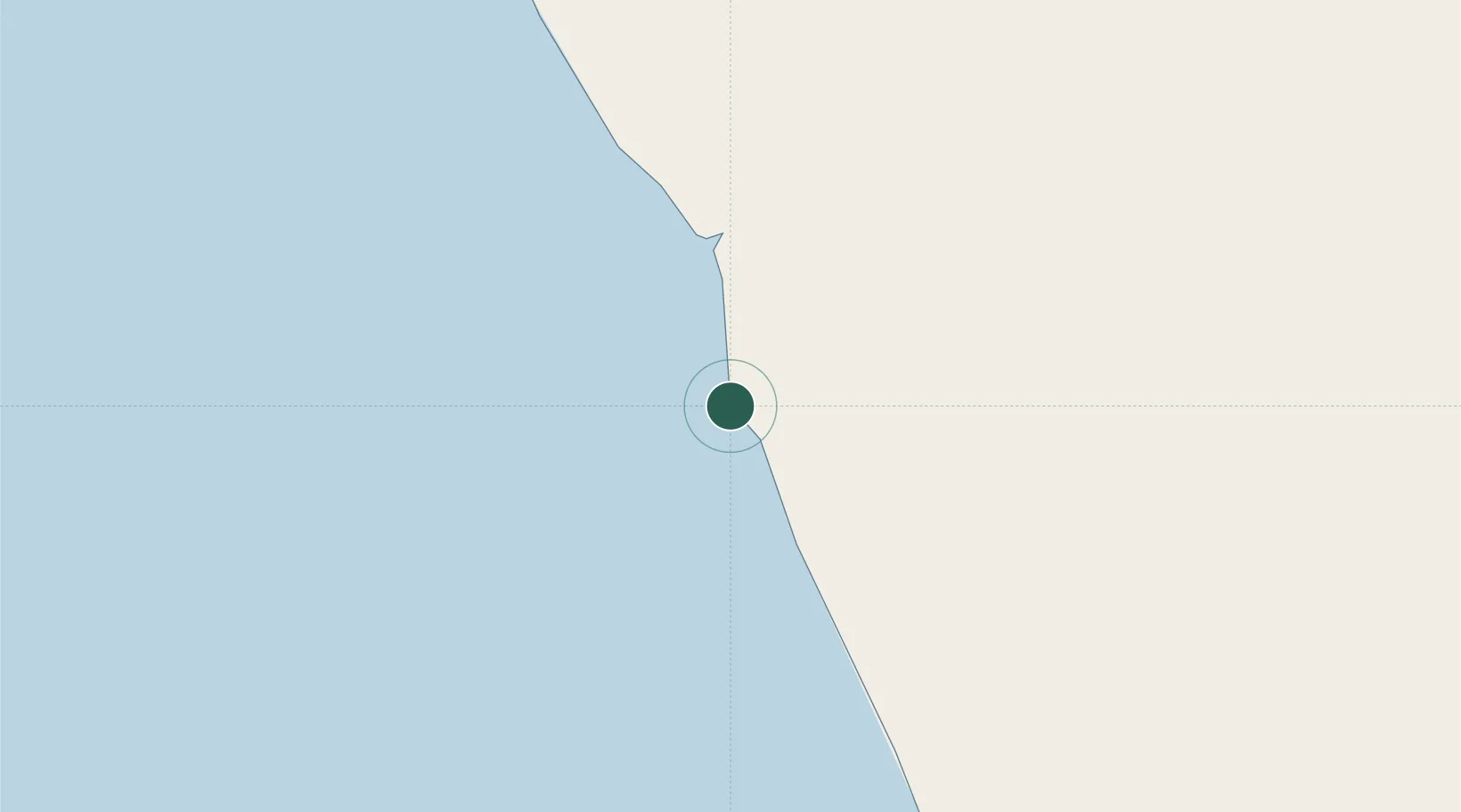
Location
Nearby Logistics Neighbours
Cities
- 1Lombo Terminal64 km
- 2Gimboa81 km
- 3Capulo87 km
- 4Greater Plutonio103 km
- 5Dalia126 km
Ports
- 1Palanca Terminal61 km
- 2Porto Do Ambriz69 km
- 3Greater Plutonio Terminal104 km
- 4Dalia Terminal128 km
- 5Girassol Terminal136 km
Airports
- 1Soyo Airport136 km
- 2Quatro de Fevereiro International Airport182 km
- 3Mbanza Congo Airport190 km
- 4Cabinda Airport199 km
- 5Dr. Antonio Agostinho Neto International Airport211 km
Trade Zones
DatabookThe Record of Consolidated Knowledge
Angola beyond logistics?