Transport Functions
Port
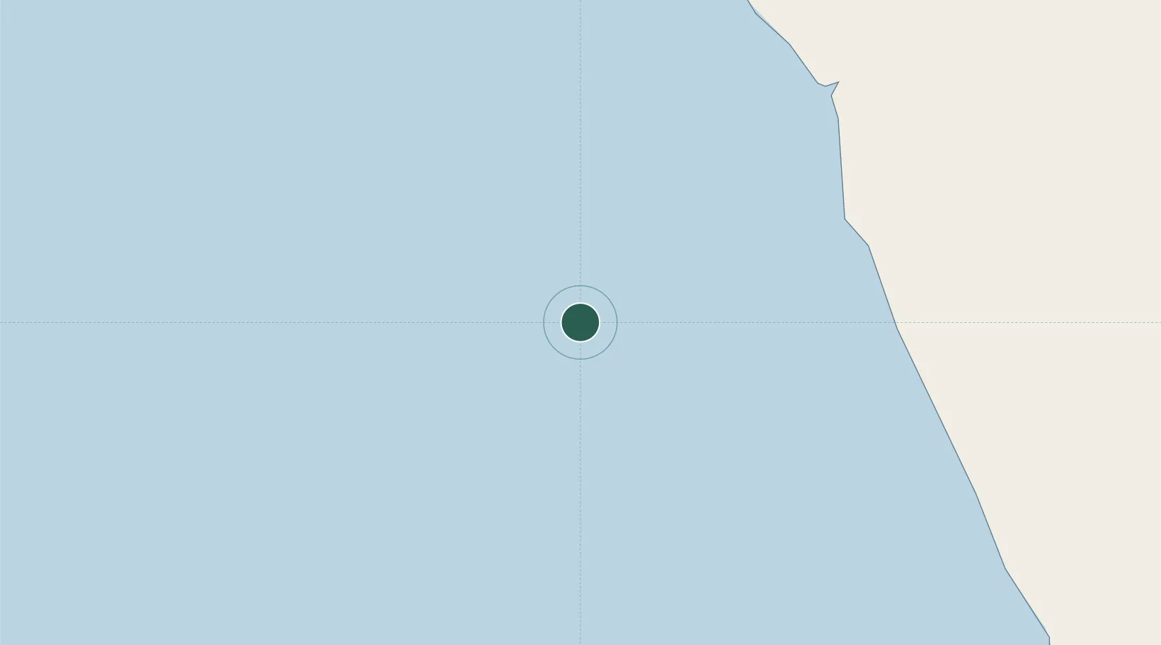
Location
Nearby Logistics Neighbours
Cities
- 1Greater Plutonio34 km
- 2Dalia45 km
- 3Girassol Terminal54 km
- 4Lombo Terminal64 km
- 5N'Zeto (Ambrizete)81 km
Ports
- 1Greater Plutonio Terminal34 km
- 2Dalia Terminal47 km
- 3Girassol Terminal55 km
- 4Palanca Terminal70 km
- 5Porto Do Ambriz108 km
Airports
- 1Soyo Airport157 km
- 2Quatro de Fevereiro International Airport188 km
- 3Cabinda Airport215 km
- 4Dr. Antonio Agostinho Neto International Airport224 km
- 5Mbanza Congo Airport269 km
Trade Zones
DatabookThe Record of Consolidated Knowledge
Angola beyond logistics?