UN/LOCODE hub · Angola
AOPSA

Porto Saco (Portosalazar)

-15.1333°, 12.1333°
1
Transport functions

Transport Functions

Port
UN/LOCODE

Location

Location of AOPSA
Natural Earth 10m (public domain) · Namibe · AOPSA · -15.13, 12.13GoogleOSMYandex

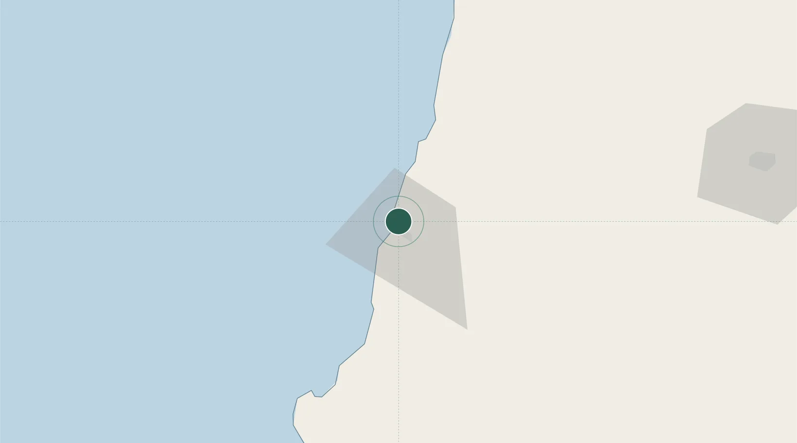
Nearby Logistics Neighbours

Cities
  1. 1Baba35 km
  2. 2River Sao Nicolau101 km
  3. 3Baía dos Tigres169 km
  4. 4Cuio256 km
  5. 5Farta Bay303 km
Nearest neighbours — logibook spatial index (haversine) over the source coordinates
Ports
  1. 1Namibe8 km
  2. 2Lobito348 km
  3. 3Sumbe475 km
  4. 4Porto Amboim520 km
  5. 5Luanda715 km
Nearest neighbours — logibook spatial index (haversine) over the source coordinates
Airports
  1. 1Welwitschia Mirabilis International Airport14 km
  2. 2Lubango Mukanka International Airport157 km
  3. 3Benguela Airport312 km
  4. 4Catumbela Airport329 km
  5. 5Xangongo Airport352 km
Nearest neighbours — logibook spatial index (haversine) over the source coordinates
Trade Zones
  1. 1Catumbela Industrial Development Pole340 km
  2. 2Viana Industrial Development Pole699 km
  3. 3Luanda-Bengo Special Economic Zone703 km
  4. 4Walvis Bay (Nara Namib) Export Processing Zone905 km
  5. 5Fútila Industrial Development Pole1079 km
Nearest neighbours — logibook spatial index (haversine) over the source coordinates
DatabookThe Record of Consolidated Knowledge
Angola beyond logistics?
Browse databook

All Sources

LocationsUN/LOCODE
UN/LOCODE — free
Portsthe NGA World Port Index
Public domain (US gov)
AirportsOurAirports
Public domain
Trade Zonesthe World Bank SEZ database
CC BY 4.0
Trade ZonesOpen Zone Map
CC BY
← Angola locations