Transport Functions
Port
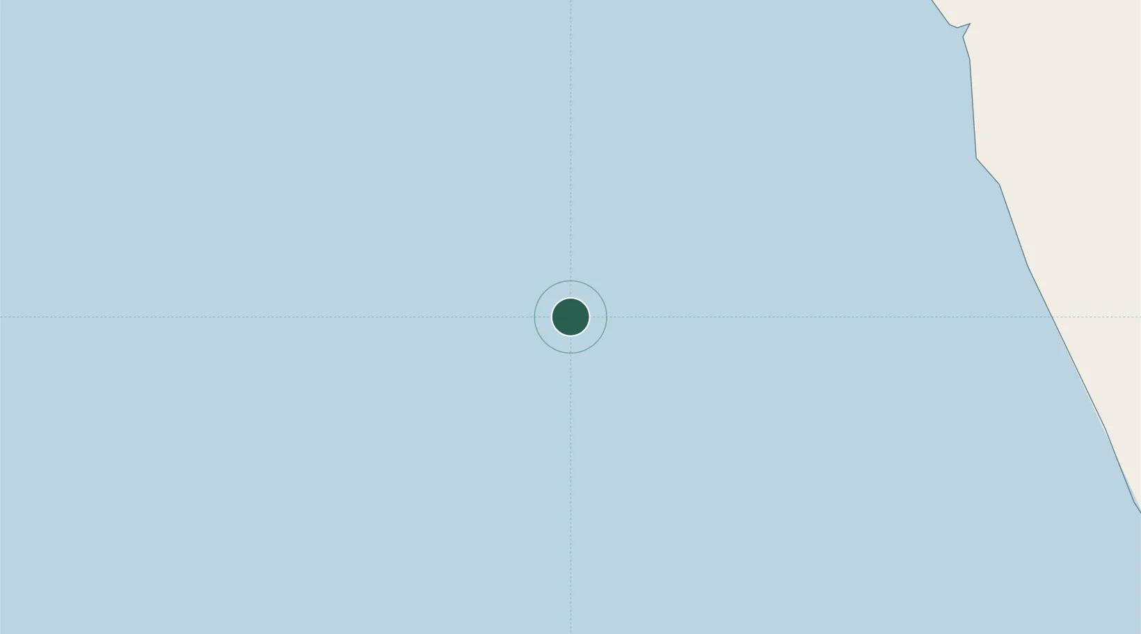
Location
Nearby Logistics Neighbours
Cities
- 1Girassol Terminal12 km
- 2Greater Plutonio40 km
- 3Gimboa45 km
- 4Lombo Terminal100 km
- 5N'Zeto (Ambrizete)126 km
Ports
- 1Girassol Terminal12 km
- 2Greater Plutonio Terminal39 km
- 3Palanca Terminal106 km
- 4Porto Do Ambriz146 km
- 5Soyo Angola Lng Terminal185 km
Airports
- 1Soyo Airport183 km
- 2Quatro de Fevereiro International Airport206 km
- 3Cabinda Airport236 km
- 4Dr. Antonio Agostinho Neto International Airport242 km
- 5Mbanza Congo Airport314 km
Trade Zones
DatabookThe Record of Consolidated Knowledge
Angola beyond logistics?