Large airport · Angola

Dr. Antonio Agostinho Neto International AirportFNBJ
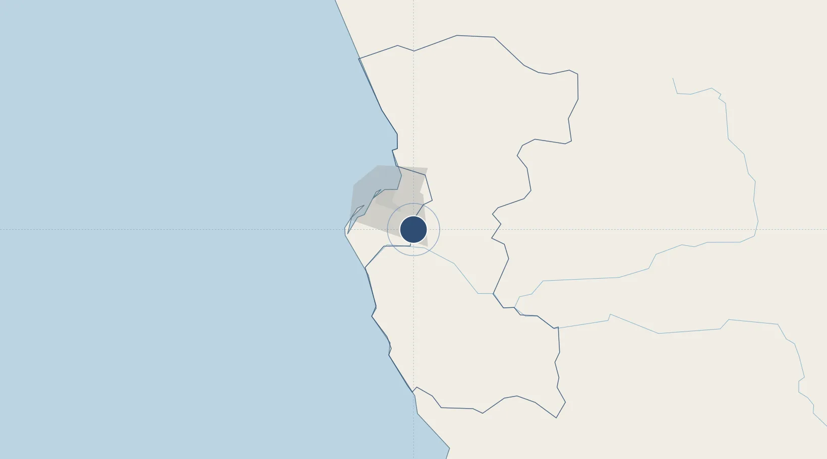
-9.0507°, 13.4991°
13,123 ft
Longest runway
2
Runways
550 ft
Elevation

Runway & Layout

Dr. Antonio Agostinho Neto International Airport runway & taxiway layout
Runway & taxiway layout — OpenStreetMap (ODbL) / OurAirports

Runways · 2

RunwayDimensions SurfaceTrue headingLit
06R/24L 13,123 × 197ft Asphalt / concrete
06L/24R 12,467 × 197ft Asphalt
OurAirports

Airport Specifications

IATA code
NBJ
OurAirports
ICAO code
FNBJ
OurAirports
Airport class
Large airport
OurAirports
Scheduled service
Yes
OurAirports
Runway surface
Asphalt / concrete
OurAirports
Served city
Luanda (Ícolo e Bengo)
OurAirports

Location

Location of FNBJ
Natural Earth 10m (public domain) · Bengo · FNBJ · -9.05, 13.50GoogleOSMYandex

Nearby Logistics Neighbours

Airports
  1. 1Quatro de Fevereiro International Airport36 km
  2. 2Porto Amboim Airport188 km
  3. 3Uige Airport233 km
  4. 4Sumbe Airport239 km
  5. 5Negage Airport244 km
Nearest neighbours — logibook spatial index (haversine) over the source coordinates
Cities
  1. 1Luanda32 km
  2. 2Capulo124 km
  3. 3Greater Plutonio204 km
  4. 4N'Zeto (Ambrizete)211 km
  5. 5Gimboa224 km
Nearest neighbours — logibook spatial index (haversine) over the source coordinates
Ports
  1. 1Luanda39 km
  2. 2Porto Do Ambriz142 km
  3. 3Porto Amboim189 km
  4. 4Greater Plutonio Terminal205 km
  5. 5Sumbe242 km
Nearest neighbours — logibook spatial index (haversine) over the source coordinates
Trade Zones
  1. 1Viana Industrial Development Pole10 km
  2. 2Luanda-Bengo Special Economic Zone17 km
  3. 3Catumbela Industrial Development Pole373 km
  4. 4Fútila Industrial Development Pole427 km
  5. 5Pointe-Noire Special Economic Zone508 km
Nearest neighbours — logibook spatial index (haversine) over the source coordinates
DatabookThe Record of Consolidated Knowledge
Angola beyond logistics?
Browse databook

All Sources

AirportsOurAirports
Public domain
Portsthe NGA World Port Index
Public domain (US gov)
LocationsUN/LOCODE
UN/LOCODE — free
Trade Zonesthe World Bank SEZ database
CC BY 4.0
Trade ZonesOpen Zone Map
CC BY
InfrastructureOpenStreetMap
ODbL 1.0
← Angola airports