Transport Functions
Port
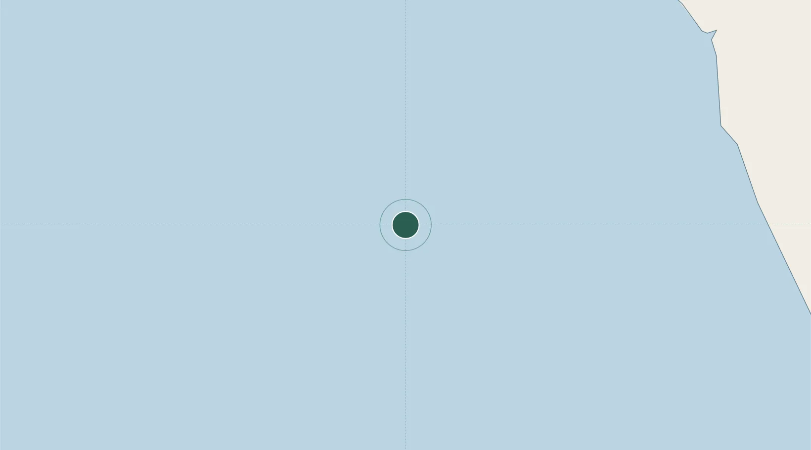
Location
Nearby Logistics Neighbours
Cities
- 1Dalia12 km
- 2Greater Plutonio53 km
- 3Gimboa54 km
- 4Lombo Terminal103 km
- 5N'Zeto (Ambrizete)135 km
Ports
- 1Dalia Terminal11 km
- 2Greater Plutonio Terminal51 km
- 3Palanca Terminal110 km
- 4Porto Do Ambriz158 km
- 5Soyo Angola Lng Terminal183 km
Airports
Trade Zones
DatabookThe Record of Consolidated Knowledge
Angola beyond logistics?