Transport Functions
Multimodal
Hub Profile
Place type
Populated place
Region
Gauteng
Time zone
Africa/Johannesburg
Elevation
1,365 m
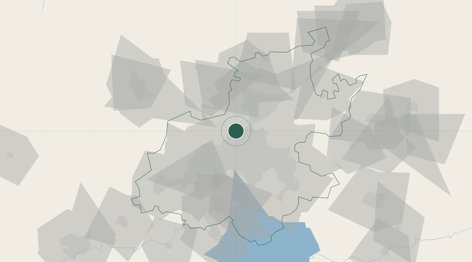
Location
Nearby Logistics Neighbours
Cities
- 1Bramley View6 km
- 2Sunninghill8 km
- 3Four Ways8 km
- 4Woodmead9 km
- 5Kya Sands10 km
Ports
- 1Maputo453 km
- 2Richards Bay512 km
- 3Durban527 km
- 4Inhambane778 km
- 5East London786 km
Airports
Trade Zones
DatabookThe Record of Consolidated Knowledge
South Africa beyond logistics?