Large airport · South Africa

Lanseria International AirportFALA
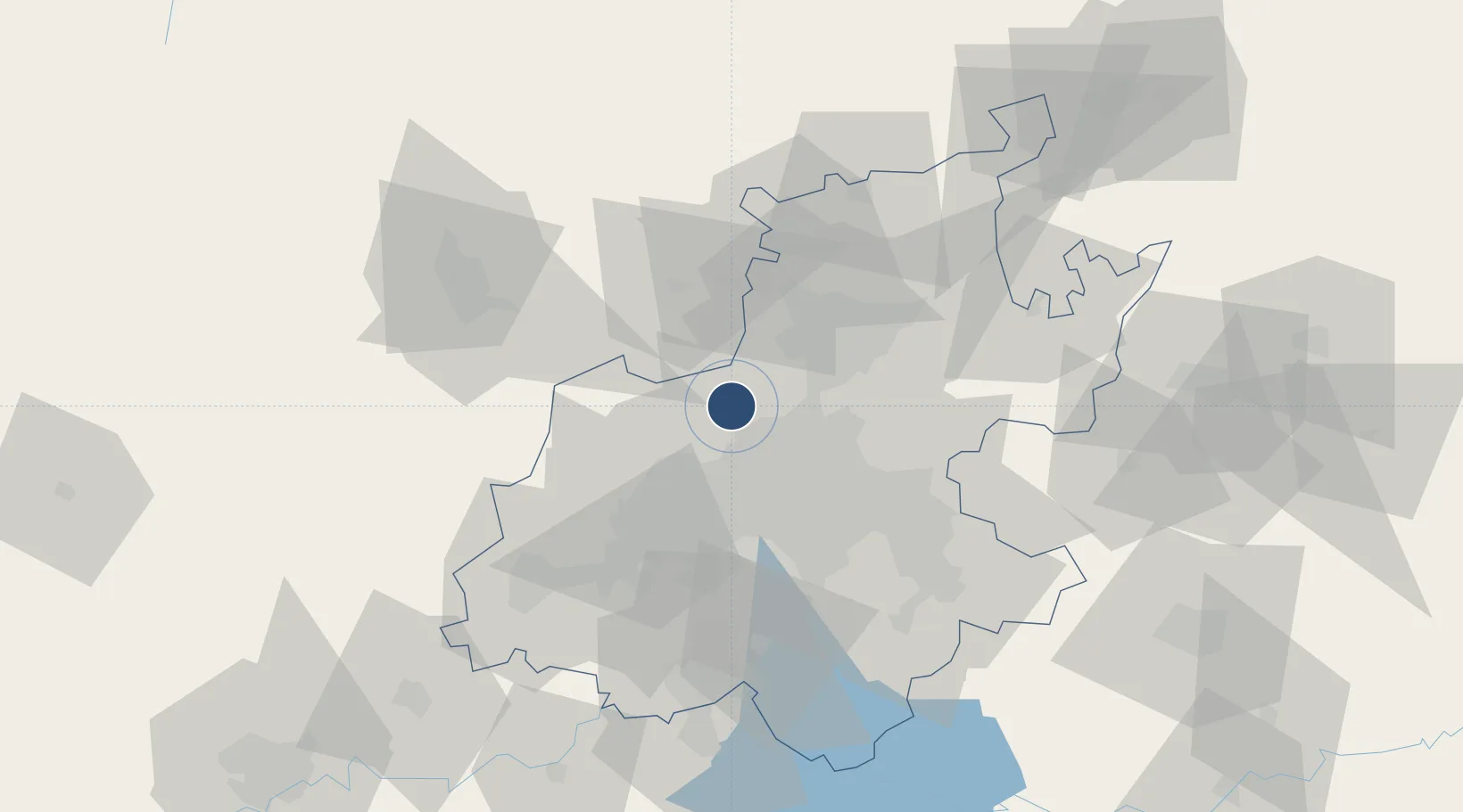
-25.9390°, 27.9266°
9,996 ft
Longest runway
1
Runways
4,517 ft
Elevation

Runway & Layout

Lanseria International Airport runway & taxiway layout
Runway & taxiway layout — OpenStreetMap (ODbL) / OurAirports

Radio Frequencies

TWR
124 MHz
GND
121.65 MHz
APP
123.7 MHz
JOHANNESBURG APP
GTE
122.85 MHz
APRON
OurAirports

Navaids

LA NDB Lanseria 270 kHz
LIV VOR-DME Lanseria 117.40 MHz
OurAirports

Runways · 1

RunwayDimensions SurfaceTrue headingLit
07/25 9,996 × 147ft Asphalt 057°
OurAirports

Airport Specifications

IATA code
HLA
OurAirports
ICAO code
FALA
OurAirports
Airport class
Large airport
OurAirports
Scheduled service
Yes
OurAirports
Runway surface
Asphalt
OurAirports
Served city
Johannesburg
OurAirports

Location

Location of FALA
Natural Earth 10m (public domain) · Gauteng · FALA · -25.94, 27.93GoogleOSMYandex

Nearby Logistics Neighbours

Airports
  1. 1Grand Central Airport22 km
  2. 2Swartkop Air Force Base28 km
  3. 3Waterkloof Air Force Base32 km
  4. 4O.R. Tambo International Airport39 km
  5. 5Rand Airport41 km
Nearest neighbours — logibook spatial index (haversine) over the source coordinates
Cities
  1. 1Kya Sands9 km
  2. 2Dainfern10 km
  3. 3Four Ways12 km
  4. 4Bramley View13 km
  5. 5Honeydew14 km
Nearest neighbours — logibook spatial index (haversine) over the source coordinates
Ports
  1. 1Maputo462 km
  2. 2Richards Bay521 km
  3. 3Durban535 km
  4. 4Inhambane786 km
  5. 5East London789 km
Nearest neighbours — logibook spatial index (haversine) over the source coordinates
Trade Zones
  1. 1OR Tambo Industrial Development Zone41 km
  2. 2Tshwane Automotive Industrial Zone46 km
  3. 3Babelegi Industrial Park74 km
  4. 4Vaal Special Economic Zone88 km
  5. 5Bojanala (Platinum Valley) Special Economic Zone99 km
Nearest neighbours — logibook spatial index (haversine) over the source coordinates
DatabookThe Record of Consolidated Knowledge
South Africa beyond logistics?
Browse databook

All Sources

AirportsOurAirports
Public domain
Portsthe NGA World Port Index
Public domain (US gov)
LocationsUN/LOCODE
UN/LOCODE — free
Trade Zonesthe World Bank SEZ database
CC BY 4.0
Trade ZonesOpen Zone Map
CC BY
InfrastructureOpenStreetMap
ODbL 1.0
← South Africa airports