Transport Functions
Multimodal
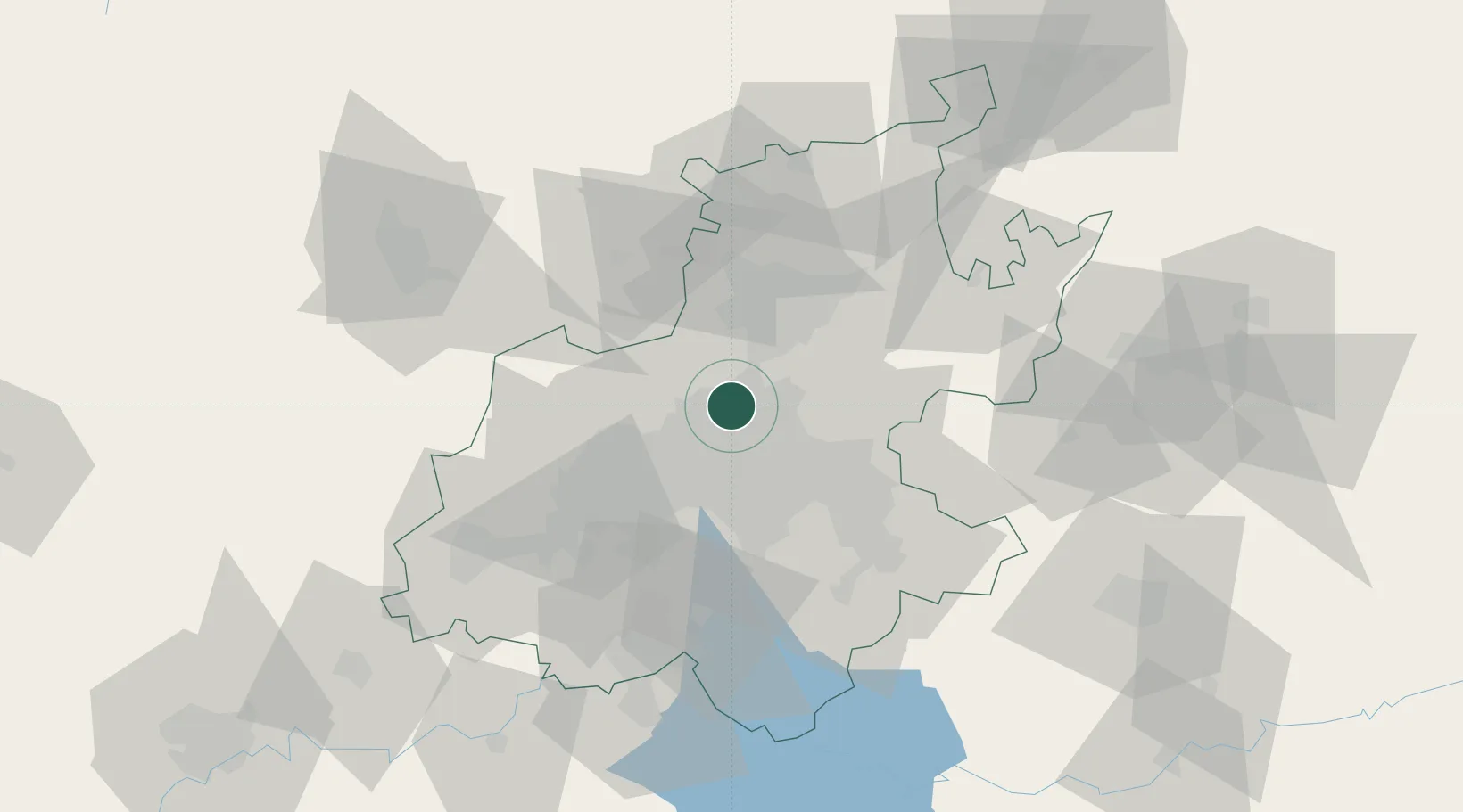
Hub Profile
Place type
Urban district
Region
Gauteng
Time zone
Africa/Johannesburg
Elevation
1,500 m
Location
Nearby Logistics Neighbours
Cities
- 1Sunninghill4 km
- 2Bramley View7 km
- 3Dainfern9 km
- 4Four Ways10 km
- 5Modderfontein11 km
Ports
- 1Maputo446 km
- 2Richards Bay504 km
- 3Durban519 km
- 4Inhambane774 km
- 5East London780 km
Airports
Trade Zones
DatabookThe Record of Consolidated Knowledge
South Africa beyond logistics?