Medium airport · South Africa

Waterkloof Air Force BaseFAWK
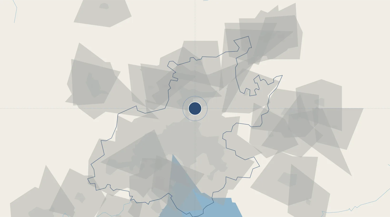
-25.8300°, 28.2225°
11,001 ft
Longest runway
2
Runways
4,940 ft
Elevation

Runway & Layout

Waterkloof Air Force Base runway & taxiway layout
Runway & taxiway layout — OpenStreetMap (ODbL) / OurAirports

Radio Frequencies

ATIS
116.9 MHz
TWR
124.1 MHz
GND
121.85 MHz
APP
134.4 MHz
GCA
127.5 MHz
OurAirports

Navaids

WK NDB Waterkloof 330 kHz
WKV VORTAC Waterkloof 116.90 MHz
WL NDB Waterkloof 315 kHz
OurAirports

Runways · 2

RunwayDimensions SurfaceTrue headingLit
01/19 11,001 × 148ft Asphalt 352°
06/24 6,299 × 148ft Asphalt 044°
OurAirports

Airport Specifications

IATA code
WKF
OurAirports
ICAO code
FAWK
OurAirports
Airport class
Medium airport
OurAirports
Scheduled service
No
OurAirports
Runway surface
Asphalt
OurAirports
Served city
Pretoria
OurAirports

Location

Location of FAWK
Natural Earth 10m (public domain) · Gauteng · FAWK · -25.83, 28.22GoogleOSMYandex

Nearby Logistics Neighbours

Airports
  1. 1Swartkop Air Force Base6 km
  2. 2Grand Central Airport19 km
  3. 3Wonderboom Airport20 km
  4. 4Lanseria International Airport32 km
  5. 5O.R. Tambo International Airport35 km
Nearest neighbours — logibook spatial index (haversine) over the source coordinates
Cities
  1. 1Irene5 km
  2. 2Centurion7 km
  3. 3Waterkloof7 km
  4. 4Garsfontein8 km
  5. 5Lynnwood10 km
Nearest neighbours — logibook spatial index (haversine) over the source coordinates
Ports
  1. 1Maputo433 km
  2. 2Richards Bay506 km
  3. 3Durban529 km
  4. 4Inhambane755 km
  5. 5East London802 km
Nearest neighbours — logibook spatial index (haversine) over the source coordinates
Trade Zones
  1. 1Tshwane Automotive Industrial Zone15 km
  2. 2OR Tambo Industrial Development Zone35 km
  3. 3Babelegi Industrial Park53 km
  4. 4Vaal Special Economic Zone105 km
  5. 5Bojanala (Platinum Valley) Special Economic Zone114 km
Nearest neighbours — logibook spatial index (haversine) over the source coordinates
DatabookThe Record of Consolidated Knowledge
South Africa beyond logistics?
Browse databook

All Sources

AirportsOurAirports
Public domain
Portsthe NGA World Port Index
Public domain (US gov)
LocationsUN/LOCODE
UN/LOCODE — free
Trade Zonesthe World Bank SEZ database
CC BY 4.0
Trade ZonesOpen Zone Map
CC BY
InfrastructureOpenStreetMap
ODbL 1.0
← South Africa airports