Transport Functions
Multimodal
Hub Profile
Place type
Urban district
Region
Gauteng
Time zone
Africa/Johannesburg
Elevation
1,443 m
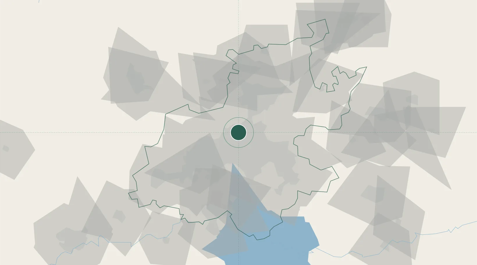
Location
Nearby Logistics Neighbours
Cities
- 1Woodmead4 km
- 2Bramley View4 km
- 3Four Ways7 km
- 4Dainfern8 km
- 5Sandhurst9 km
Ports
- 1Maputo449 km
- 2Richards Bay505 km
- 3Durban519 km
- 4Inhambane777 km
- 5East London779 km
Airports
- 1Grand Central Airport10 km
- 2Lanseria International Airport16 km
- 3O.R. Tambo International Airport23 km
- 4Rand Airport25 km
- 5Swartkop Air Force Base27 km
Trade Zones
DatabookThe Record of Consolidated Knowledge
South Africa beyond logistics?