Transport Functions
Multimodal
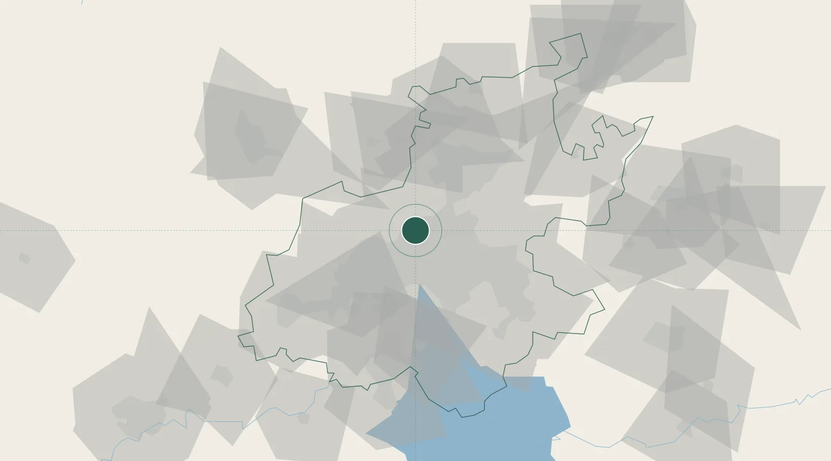
Hub Profile
Place type
Populated place
Region
Gauteng
Time zone
Africa/Johannesburg
Elevation
1,459 m
Location
Nearby Logistics Neighbours
Cities
- 1Bramley View4 km
- 2Kya Sands5 km
- 3Honeydew6 km
- 4Sunninghill7 km
- 5Dainfern8 km
Ports
- 1Maputo456 km
- 2Richards Bay510 km
- 3Durban523 km
- 4East London778 km
- 5Inhambane784 km
Airports
- 1Lanseria International Airport12 km
- 2Grand Central Airport17 km
- 3Rand Airport29 km
- 4O.R. Tambo International Airport29 km
- 5Swartkop Air Force Base31 km
Trade Zones
DatabookThe Record of Consolidated Knowledge
South Africa beyond logistics?