Medium airport · South Africa

Grand Central AirportFAGC
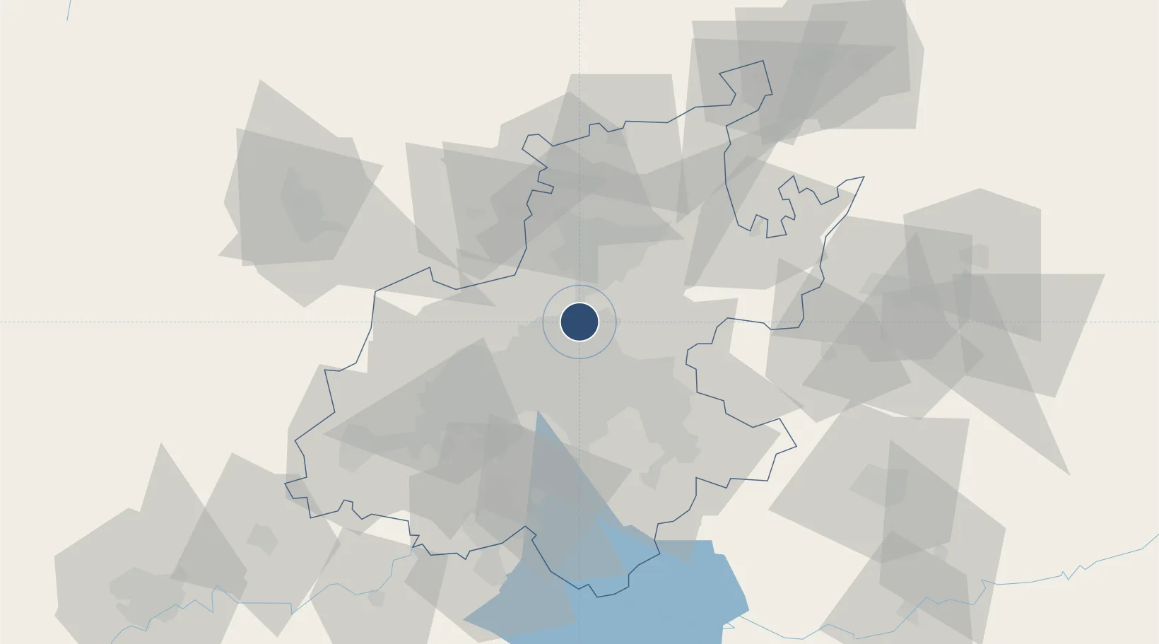
-25.9863°, 28.1401°
6,004 ft
Longest runway
1
Runways
5,325 ft
Elevation

Runway & Layout

Grand Central Airport runway & taxiway layout
Runway & taxiway layout — OpenStreetMap (ODbL) / OurAirports

Radio Frequencies

AFIS
122.8 MHz
OurAirports

Navaids

GC NDB Grand Central 373 kHz
OurAirports

Runways · 1

RunwayDimensions SurfaceTrue headingLit
17/35 6,004 × 75ft Asphalt 153°
OurAirports

Airport Specifications

IATA code
GCJ
OurAirports
ICAO code
FAGC
OurAirports
Airport class
Medium airport
OurAirports
Scheduled service
No
OurAirports
Runway surface
Asphalt
OurAirports
Served city
Midrand
OurAirports

Location

Location of FAGC
Natural Earth 10m (public domain) · Gauteng · FAGC · -25.99, 28.14GoogleOSMYandex

Nearby Logistics Neighbours

Airports
  1. 1Waterkloof Air Force Base19 km
  2. 2Swartkop Air Force Base20 km
  3. 3O.R. Tambo International Airport20 km
  4. 4Lanseria International Airport22 km
  5. 5Rand Airport29 km
Nearest neighbours — logibook spatial index (haversine) over the source coordinates
Cities
  1. 1Woodmead7 km
  2. 2Rooihuiskraal10 km
  3. 3Sunninghill10 km
  4. 4Dainfern13 km
  5. 5Modderfontein13 km
Nearest neighbours — logibook spatial index (haversine) over the source coordinates
Ports
  1. 1Maputo440 km
  2. 2Richards Bay501 km
  3. 3Durban518 km
  4. 4Inhambane767 km
  5. 5East London784 km
Nearest neighbours — logibook spatial index (haversine) over the source coordinates
Trade Zones
  1. 1OR Tambo Industrial Development Zone21 km
  2. 2Tshwane Automotive Industrial Zone34 km
  3. 3Babelegi Industrial Park72 km
  4. 4Vaal Special Economic Zone86 km
  5. 5Bojanala (Platinum Valley) Special Economic Zone118 km
Nearest neighbours — logibook spatial index (haversine) over the source coordinates
DatabookThe Record of Consolidated Knowledge
South Africa beyond logistics?
Browse databook

All Sources

AirportsOurAirports
Public domain
Portsthe NGA World Port Index
Public domain (US gov)
LocationsUN/LOCODE
UN/LOCODE — free
Trade Zonesthe World Bank SEZ database
CC BY 4.0
Trade ZonesOpen Zone Map
CC BY
InfrastructureOpenStreetMap
ODbL 1.0
← South Africa airports