UN/LOCODE hub · South Africa
ZAZFR

Bramley View

-26.0167°, 28.0167°
1
Transport functions

Transport Functions

Multimodal
UN/LOCODE

Hub Profile

Region
GT
GeoNames

Location

Location of ZAZFR
Natural Earth 10m (public domain) · GT · ZAZFR · -26.02, 28.02GoogleOSMYandex

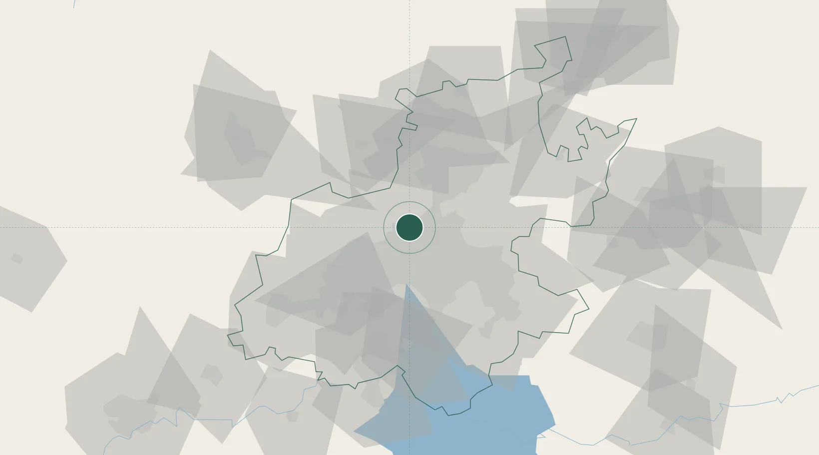
Nearby Logistics Neighbours

Cities
  1. 1Sunninghill4 km
  2. 2Four Ways4 km
  3. 3Dainfern6 km
  4. 4Woodmead7 km
  5. 5Kya Sands8 km
Nearest neighbours — logibook spatial index (haversine) over the source coordinates
Ports
  1. 1Maputo453 km
  2. 2Richards Bay509 km
  3. 3Durban523 km
  4. 4Inhambane780 km
  5. 5East London780 km
Nearest neighbours — logibook spatial index (haversine) over the source coordinates
Airports
  1. 1Lanseria International Airport13 km
  2. 2Grand Central Airport13 km
  3. 3O.R. Tambo International Airport27 km
  4. 4Swartkop Air Force Base27 km
  5. 5Rand Airport29 km
Nearest neighbours — logibook spatial index (haversine) over the source coordinates
Trade Zones
  1. 1OR Tambo Industrial Development Zone29 km
  2. 2Tshwane Automotive Industrial Zone44 km
  3. 3Babelegi Industrial Park78 km
  4. 4Vaal Special Economic Zone80 km
  5. 5Bojanala (Platinum Valley) Special Economic Zone112 km
Nearest neighbours — logibook spatial index (haversine) over the source coordinates
DatabookThe Record of Consolidated Knowledge
South Africa beyond logistics?
Browse databook

All Sources

LocationsUN/LOCODE
UN/LOCODE — free
Portsthe NGA World Port Index
Public domain (US gov)
AirportsOurAirports
Public domain
Trade Zonesthe World Bank SEZ database
CC BY 4.0
Trade ZonesOpen Zone Map
CC BY
← South Africa locations