Medium airport · South Africa

Swartkop Air Force BaseFASK
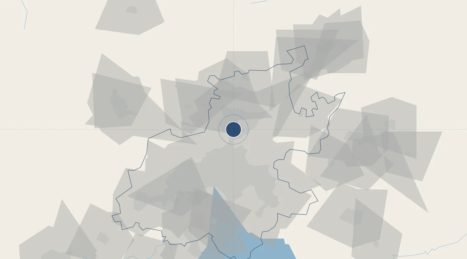
-25.8097°, 28.1646°
6,589 ft
Longest runway
2
Runways
4,780 ft
Elevation

Runway & Layout

Swartkop Air Force Base runway & taxiway layout
Runway & taxiway layout — OpenStreetMap (ODbL) / OurAirports

Radio Frequencies

TWR
123.2 MHz
GND
121.75 MHz
APP
134.4 MHz
WATERKLOOF APP
OurAirports

Runways · 2

RunwayDimensions SurfaceTrue headingLit
06/24 6,589 × 147ft Graded earth 049°
02/20 6,520 × 98ft Asphalt 006°
OurAirports

Airport Specifications

ICAO code
FASK
OurAirports
Airport class
Medium airport
OurAirports
Scheduled service
No
OurAirports
Runway surface
Graded earth
OurAirports
Served city
Pretoria
OurAirports

Location

Location of FASK
Natural Earth 10m (public domain) · Gauteng · FASK · -25.81, 28.16GoogleOSMYandex

Nearby Logistics Neighbours

Airports
  1. 1Waterkloof Air Force Base6 km
  2. 2Wonderboom Airport18 km
  3. 3Grand Central Airport20 km
  4. 4Lanseria International Airport28 km
  5. 5O.R. Tambo International Airport38 km
Nearest neighbours — logibook spatial index (haversine) over the source coordinates
Cities
  1. 1Centurion6 km
  2. 2Irene7 km
  3. 3Waterkloof8 km
  4. 4Capital Park9 km
  5. 5Rooihuiskraal12 km
Nearest neighbours — logibook spatial index (haversine) over the source coordinates
Ports
  1. 1Maputo439 km
  2. 2Richards Bay512 km
  3. 3Durban534 km
  4. 4Inhambane760 km
  5. 5East London804 km
Nearest neighbours — logibook spatial index (haversine) over the source coordinates
Trade Zones
  1. 1Tshwane Automotive Industrial Zone18 km
  2. 2OR Tambo Industrial Development Zone38 km
  3. 3Babelegi Industrial Park52 km
  4. 4Vaal Special Economic Zone106 km
  5. 5Bojanala (Platinum Valley) Special Economic Zone108 km
Nearest neighbours — logibook spatial index (haversine) over the source coordinates
DatabookThe Record of Consolidated Knowledge
South Africa beyond logistics?
Browse databook

All Sources

AirportsOurAirports
Public domain
Portsthe NGA World Port Index
Public domain (US gov)
LocationsUN/LOCODE
UN/LOCODE — free
Trade Zonesthe World Bank SEZ database
CC BY 4.0
Trade ZonesOpen Zone Map
CC BY
InfrastructureOpenStreetMap
ODbL 1.0
← South Africa airports