Free Trade Zone · South Africa

OR Tambo Industrial Development Zone Active
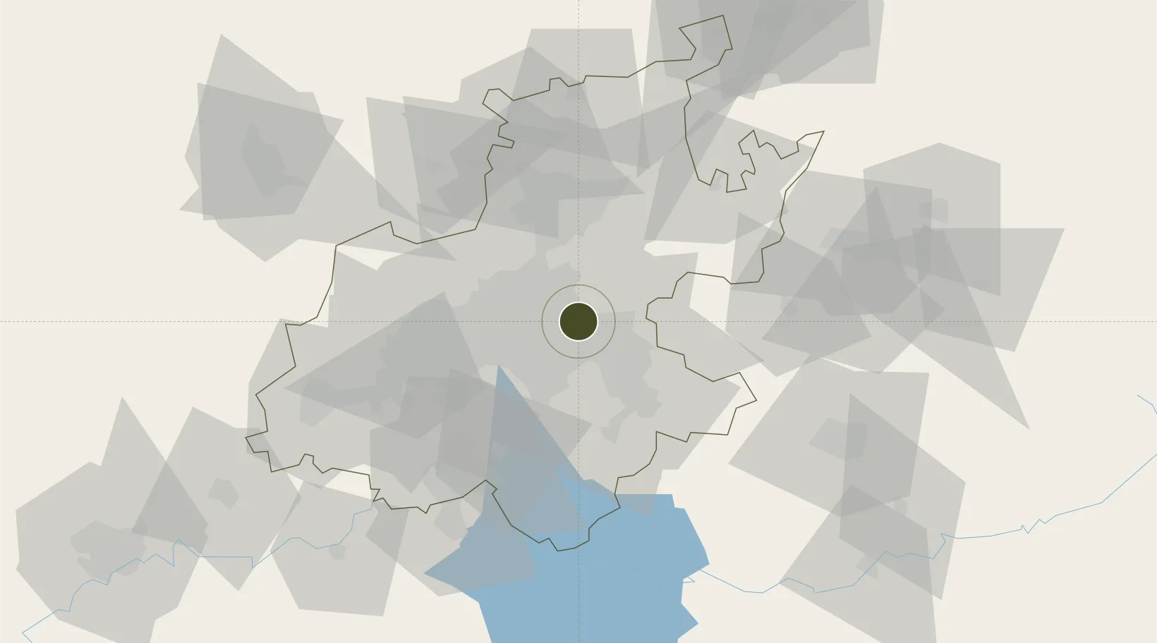
-26.1376°, 28.2692°
3 ha
Zone area
427.5 km
Nearest port
2.2 km
Nearest airport

Gateway access

Nearest neighbours — logibook spatial index (haversine) over the source coordinates

Zone profile

Zone type
Free Trade Zone
Open Zone Map
Region
Gauteng
Open Zone Map
Status
Active
Open Zone Map
Management
Public-Private Partnership
Open Zone Map
Operator
Gauteng Industrial Development Zone (GIDZ)
Open Zone Map
Legal framework
Special Economic Zones Act No.16 of 2014
Open Zone Map

Location

Location of ozm-4160
Natural Earth 10m (public domain) · Gauteng · ozm-4160 · -26.14, 28.27GoogleOSMYandex

Nearby Logistics Neighbours

Ports
  1. 1Maputo428 km
  2. 2Richards Bay481 km
  3. 3Durban497 km
  4. 4Inhambane760 km
  5. 5East London768 km
Nearest neighbours — logibook spatial index (haversine) over the source coordinates
Airports
  1. 1O.R. Tambo International Airport2 km
  2. 2Rand Airport17 km
  3. 3Grand Central Airport21 km
  4. 4Waterkloof Air Force Base35 km
  5. 5Swartkop Air Force Base38 km
Nearest neighbours — logibook spatial index (haversine) over the source coordinates
Cities
  1. 1Bonaero Park3 km
  2. 2Jet Park5 km
  3. 3Dunswart/Boksburg7 km
  4. 4Witfield9 km
  5. 5Primrose11 km
Nearest neighbours — logibook spatial index (haversine) over the source coordinates
Trade Zones
  1. 1Tshwane Automotive Industrial Zone46 km
  2. 2Vaal Special Economic Zone75 km
  3. 3Babelegi Industrial Park87 km
  4. 4Bojanala (Platinum Valley) Special Economic Zone139 km
  5. 5Tubatse Special Economic Zone238 km
Nearest neighbours — logibook spatial index (haversine) over the source coordinates
DatabookThe Record of Consolidated Knowledge
South Africa beyond logistics?
Browse databook

All Sources

Trade ZonesOpen Zone Map
CC BY
Portsthe NGA World Port Index
Public domain (US gov)
AirportsOurAirports
Public domain
LocationsUN/LOCODE
UN/LOCODE — free
← South Africa trade zones