Transport Functions
Multimodal
Hub Profile
Place type
Urban district
Region
Gauteng
Time zone
Africa/Johannesburg
Elevation
1,458 m
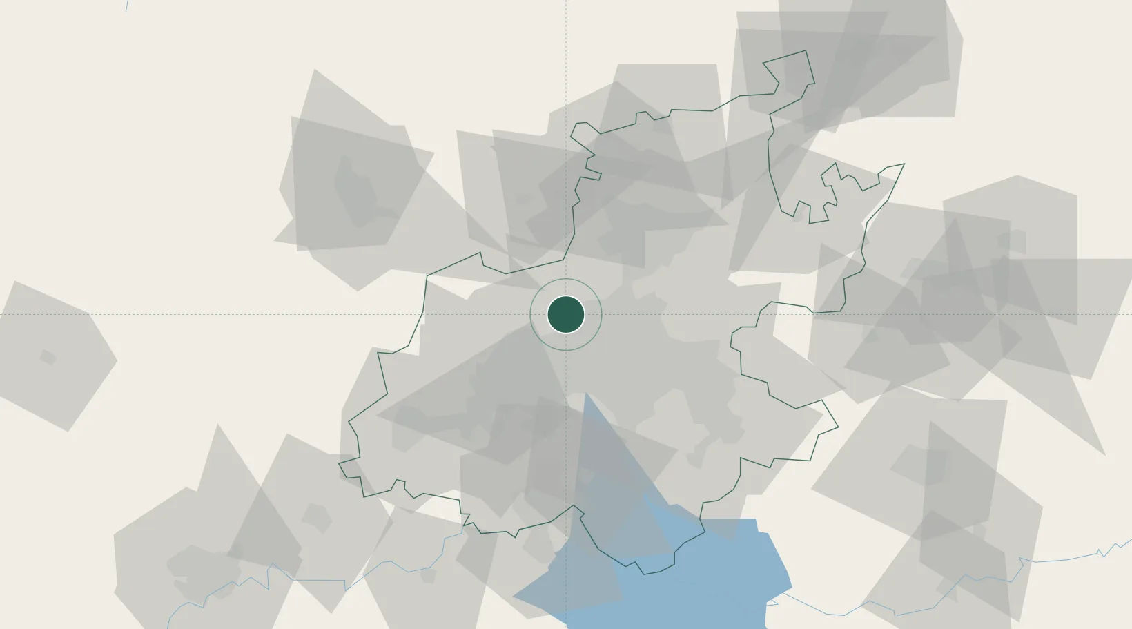
Location
Nearby Logistics Neighbours
Cities
- 1Four Ways5 km
- 2Honeydew6 km
- 3Bramley View8 km
- 4Dainfern10 km
- 5Weltevredenpark11 km
Ports
- 1Maputo461 km
- 2Richards Bay515 km
- 3Durban527 km
- 4East London780 km
- 5Inhambane788 km
Airports
Trade Zones
DatabookThe Record of Consolidated Knowledge
South Africa beyond logistics?